Eysturoy region
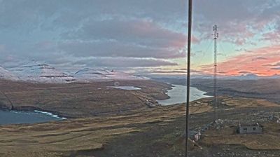
Built around North Atlantic fishing grounds, the Eysturoy region grew into an important centre of Faroese settlement and seafaring. Eysturoy, the archipelago’s second-largest island, is defined by steep green slopes, deeply cut fjords and weather from the open ocean. At 880 metres, Slættaratindur is the highest summit in the Faroes, rising above the island’s north. On the northeast coast, Gjógv is known for the long sea gorge that gives the settlement its name, while Funningur has a traditional wooden church. The Eysturoy Tunnel links the island with Streymoy beneath the sea. Explore nearby webcam locations that provide complementary perspectives on Eysturoy and the northern Faroes. Generated by AI


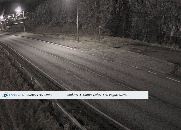
Featured webcams


Popular webcams
Recently added webcams
Explore cities and regions of Eysturoy region
Eysturoy region
6 webcams 5 cities
Eidi
2 webcams
Funningur
1 webcam
Gjogv
1 webcam
Sydrugota
1 webcam
Toftir
1 webcam