Magallanes and Chilean Antarctica Region
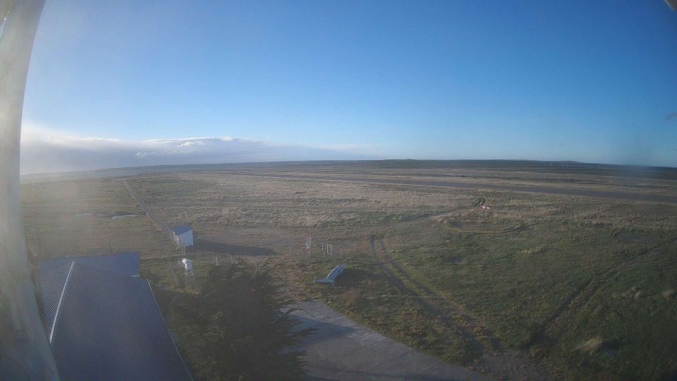
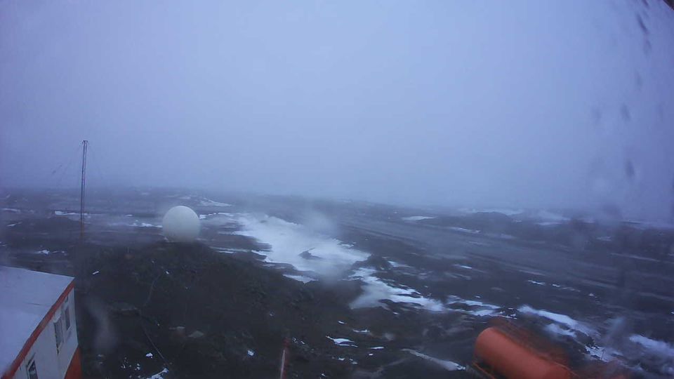
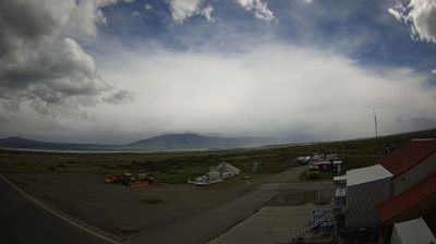
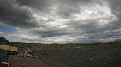
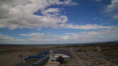
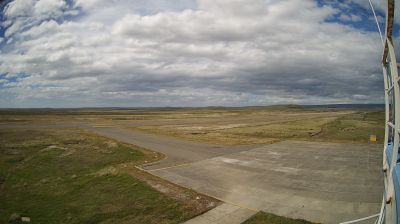
The terrain of the Region of Magallanes and Chilean Antarctica shifts from Patagonian steppe in the east to the Andes, islands and fjords in the west, creating a far-southern territory exposed to powerful winds. The Strait of Magellan cuts through its mainland and island geography, linking the Atlantic and Pacific oceans. Punta Arenas, on the strait, developed as an important port before the Panama Canal reshaped interoceanic shipping. Farther north, Torres del Paine National Park is known for the granite Paine Massif and glaciers, while the region also extends across Tierra del Fuego and the channels of western Patagonia. Browse additional webcams from the surrounding area to extend your view of Magallanes. Generated by AI

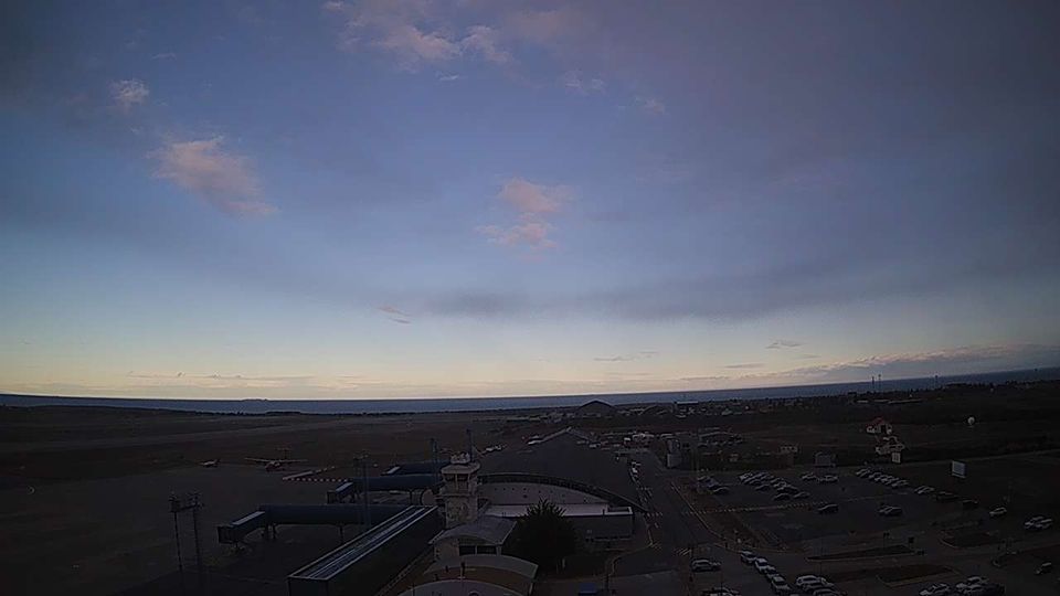
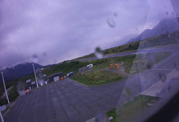
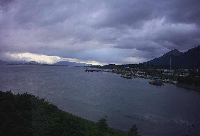
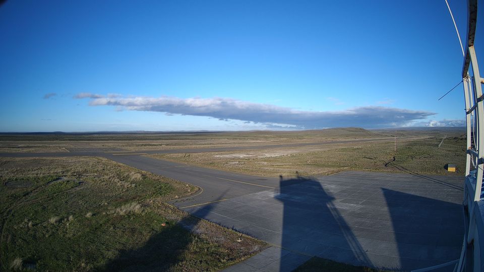
Featured webcams



Popular webcams
Recently added webcams
Explore cities and regions of Magallanes and Chilean Antarctica Region
Magallanes and Chilean Antarctica Region
10 webcams 4 cities