 Punta Arenas: › South
Punta Arenas occupies a low coastal terrace beside the Strait of Magellan in Chile’s Magallanes Region. Founded in 1848, it developed as a port of call for ships navigating the strait, long before the Panama Canal changed global shipping routes. Today it is the regional capital and a working southern Patagonian city, with its urban core facing the water and open steppe extending around its edges. The Museo Regional de Magallanes, installed in the former Braun-Menéndez residence, recalls the fortunes made here during the late-19th- and early-20th-century sheep-ranching era. The Strait of Magellan remains central to Punta Arenas’s identity, linking the Atlantic and Pacific coasts of South America.
Generated by AI
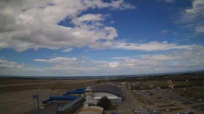
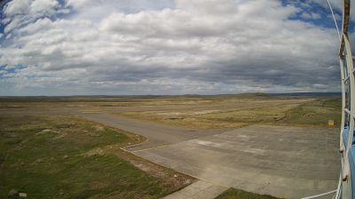


Punta Arenas has served as a port in Chile’s Magallanes region since the 19th century. Set on the Strait of Magellan along the Brunswick Peninsula, it stands beside one of the world’s historic sea passages between the Atlantic and Pacific; before the Panama Canal opened, the strait gave the town particular strategic importance. Plaza Muñoz Gamero, the civic centre, is marked by the Monument to Ferdinand Magellan, while the Museo Regional de Magallanes traces the area’s settlement and commercial past. Punta Arenas is also a practical base for reaching wider Patagonia, yet its waterfront, grid of streets and working port retain a distinctly southern character. Find related webcams in the surrounding Magallanes region to build a fuller picture of Punta Arenas.
3 webcams
The terrain of the Region of Magallanes and Chilean Antarctica shifts from Patagonian steppe in the east to the Andes, islands and fjords in the west, creating a far-southern territory exposed to powerful winds. The Strait of Magellan cuts through its mainland and island geography, linking the Atlantic and Pacific oceans. Punta Arenas, on the strait, developed as an important port before the Panama Canal reshaped interoceanic shipping. Farther north, Torres del Paine National Park is known for the granite Paine Massif and glaciers, while the region also extends across Tierra del Fuego and the channels of western Patagonia. Browse additional webcams from the surrounding area to extend your view of Magallanes.
10 webcams
Among the countries of South America, Chile stands out for its exceptional north-to-south extent between the Andes and the Pacific Ocean. The Atacama Desert in the north is one of the driest places on Earth, while the south reaches into Patagonia, where Torres del Paine National Park is known for its jagged granite peaks, glaciers and lakes. Chile also includes Rapa Nui, the Pacific island famed for its monumental moai statues. In Valparaíso, steep hills, funicular railways and colourful historic neighbourhoods reflect the country’s maritime past; its historic quarter is a UNESCO World Heritage Site. Find related webcams in the surrounding area to build a fuller picture of Chile’s Pacific coast and Andean regions.
102 webcams