Peace River Regional District
Peace River Regional District occupies a broad inland territory in northeastern British Columbia, Canada. Its towns, farms and energy developments spread across Peace River Country, where the Peace River and tributaries such as the Pine River cut through rolling plains and the foothills of the Canadian Rockies rise to the west. Fort St. John is the district’s largest urban centre, while Dawson Creek is known as Mile 0 of the Alaska Highway. Near Hudson’s Hope, the W. A. C. Bennett Dam harnesses the Peace River and forms Williston Lake. Long distances, boreal forest and working agricultural land define this northern corner of the province. Browse nearby webcams to place the Peace River Regional District in its wider northeastern British Columbia setting. Generated by AI
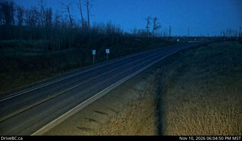
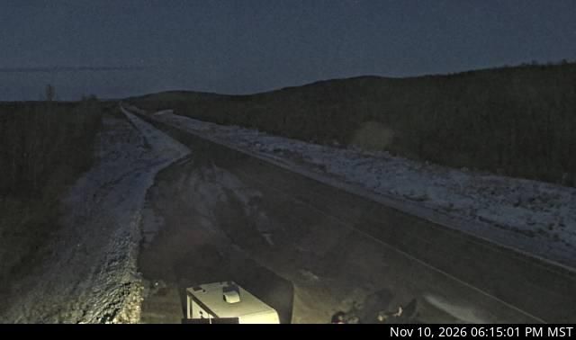
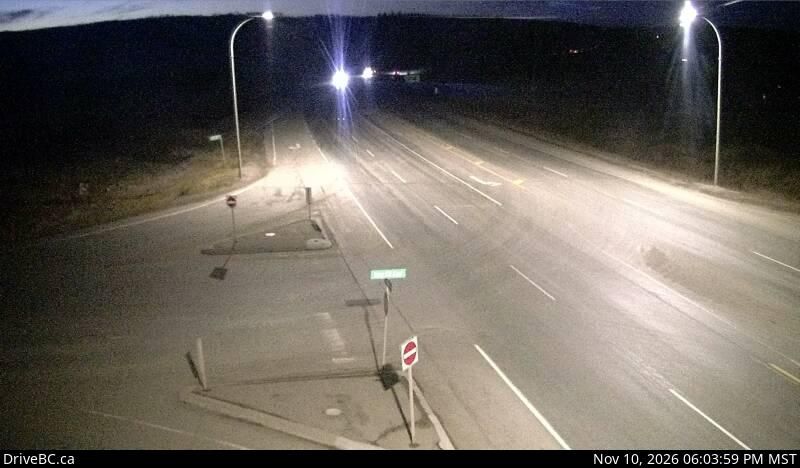
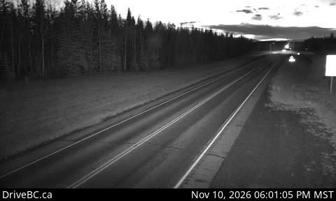
10 webcams

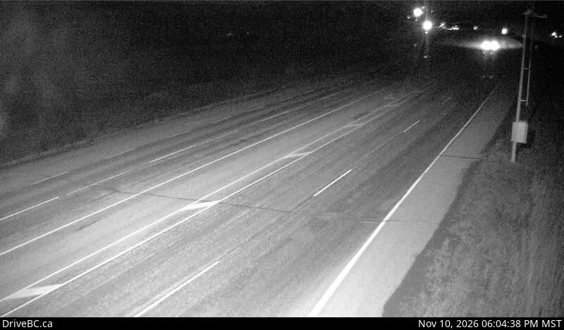
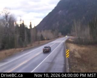
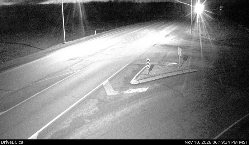
Featured webcams

Popular webcams
Recently added webcams