Pathum Thani Province
The terrain of Pathum Thani Province ranges from the low-lying Chao Phraya floodplain in the west to canal-crossed farmland and expanding urban districts in the east, making water management central to daily life. Just north of Bangkok, the province forms part of Thailand’s densely settled central plain, where the Chao Phraya River and the Rangsit canal network have long supported rice cultivation and transport. Its name, meaning “Lotus City,” recalls the lotus ponds associated with Mon communities in the historic district of Sam Khok. Thammasat University’s Rangsit campus also gives the province an important academic presence. Browse other webcams across central Thailand to place Pathum Thani Province in a wider geographic context. Generated by AI
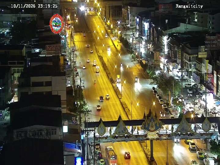


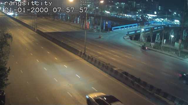

Featured webcams


Popular webcams
Recently added webcams
Explore cities and regions of Pathum Thani Province
Pathum Thani Province
4 webcams 1 city