Municipal District of Bighorn
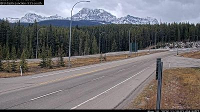
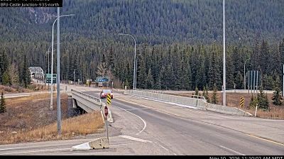
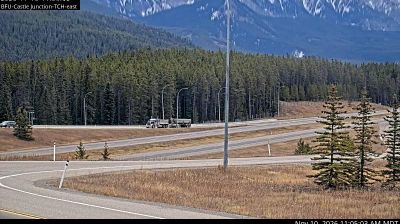
The Municipal District of Bighorn combines sparsely settled foothills with rugged Rocky Mountain country in a way that reflects its position between Calgary’s western edge and the Continental Divide. Much of the district follows the eastern slopes of the Canadian Rockies, where the Bow River corridor links communities including Exshaw and Dead Man’s Flats with mountain routes farther west. Forest, open rangeland, and limestone ridges define a broad landscape shaped by changing weather and long winters. The area forms part of Treaty 7 territory, the traditional homeland of Indigenous peoples including the Stoney Nakoda Nations. Move on to other webcams in the region to compare landscapes and settings around the Municipal District of Bighorn. Generated by AI
3 webcams




Featured webcams
Popular webcams