Mpumalanga
Mpumalanga’s terrain ranges from open Highveld grasslands in the west to the subtropical Lowveld beyond the Drakensberg escarpment in the east, creating marked shifts in climate and vegetation. The escarpment includes the Blyde River Canyon, while the province’s eastern reaches form part of the wider Kruger National Park landscape along the Mozambique border. Forested slopes, farming country and bushveld give the province a varied regional identity. Pilgrim’s Rest, a former gold-mining settlement, recalls the late-19th-century rush that helped shape this part of South Africa. Browse additional webcams from the surrounding area to extend your view of Mpumalanga. Generated by AI
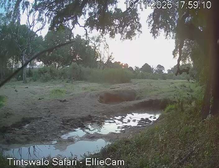


Featured webcams




Popular webcams
Recently added webcams
Explore cities and regions of Mpumalanga