Lom
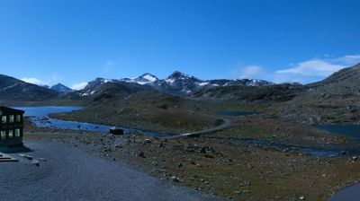
The terrain of Lom ranges from cultivated river flats beside the Bøvra in the central valley to glaciated high mountains in Jotunheimen and Breheimen, creating a sharp contrast between farmland and open uplands. This municipality in Innlandet lies along Ottadalen, where the Bøvra meets the Otta river. Norway’s highest mountain, Galdhøpiggen, is within Lom municipality, giving the area a central role in the country’s mountain geography. In Fossbergom, Lom Stave Church is a defining medieval landmark, while the Norwegian Mountain Museum interprets the region’s long relationship with the high country. Trace Lom’s setting between Jotunheimen and Breheimen by browsing webcams nearby. Generated by AI
3 webcams


Featured webcams


Popular webcams
Recently added webcams