Huehuetenango
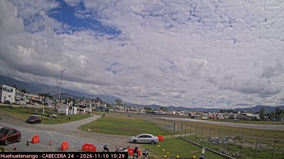
The terrain of Huehuetenango ranges from temperate valleys around the departmental capital in the south to the high ridges of the Sierra de los Cuchumatanes farther north, creating marked contrasts in climate and settlement. On Guatemala’s northwestern frontier, the department borders Mexico and is defined by mountain roads, cultivated slopes, and highland towns. Huehuetenango city is its administrative centre, while coffee growing remains important to the local economy. The area is home to Maya peoples including the Mam, Q’anjob’al, Chuj and Akatek, whose languages continue to shape daily life. View additional webcams nearby to better understand how Huehuetenango relates to Guatemala’s northwestern highlands. Generated by AI


Featured webcams

Popular webcams
Recently added webcams
Explore cities and regions of Huehuetenango
Huehuetenango
2 webcams 1 city