Chachoengsao Province
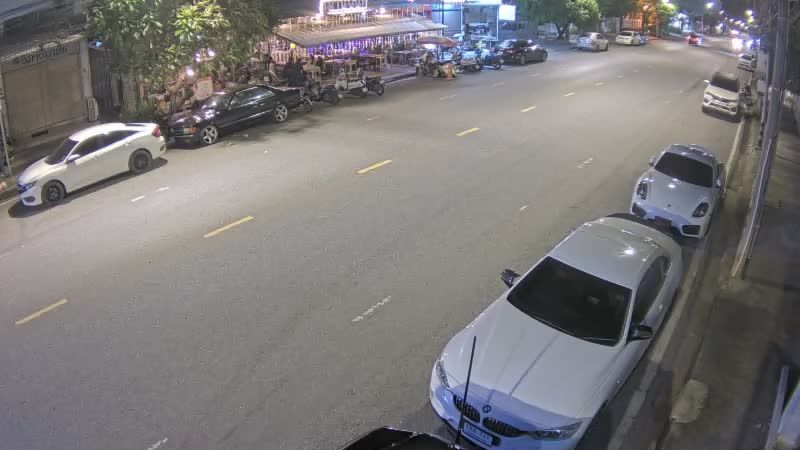
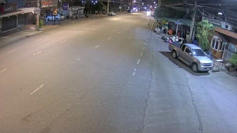
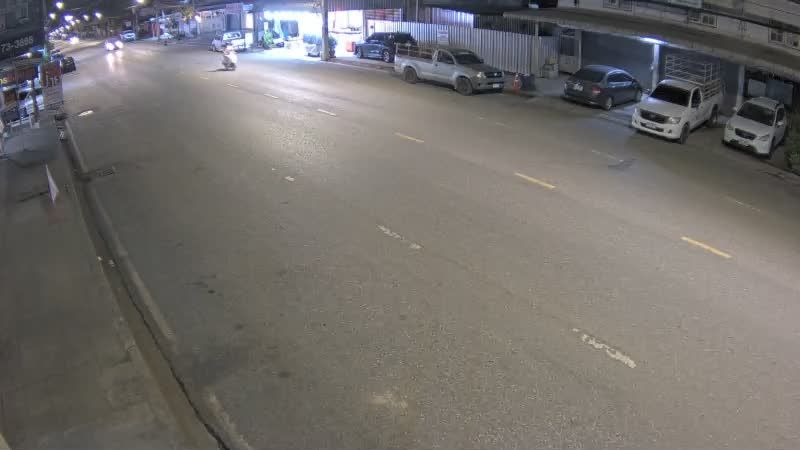
The terrain of Chachoengsao Province ranges from low alluvial plains along the Bang Pakong River in the west to wooded foothills in the east, giving the province a largely agricultural character. The river is central to local life, supporting rice cultivation, orchards and settlements across this part of eastern Thailand. Chachoengsao town, also known as Paet Riu, is home to Wat Sothon Wararam Worawihan, a major Buddhist temple revered for its image of Luang Pho Sothon. The province lies within easy reach of Bangkok yet retains a distinctly riverine, provincial rhythm. Discover other points of interest through webcams located across Chachoengsao Province. Generated by AI










Featured webcams





Popular webcams

Recently added webcams
Explore cities and regions of Chachoengsao Province
Chachoengsao Province
36 webcams 1 city