Central Hungary
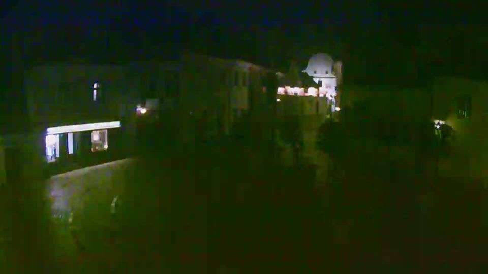
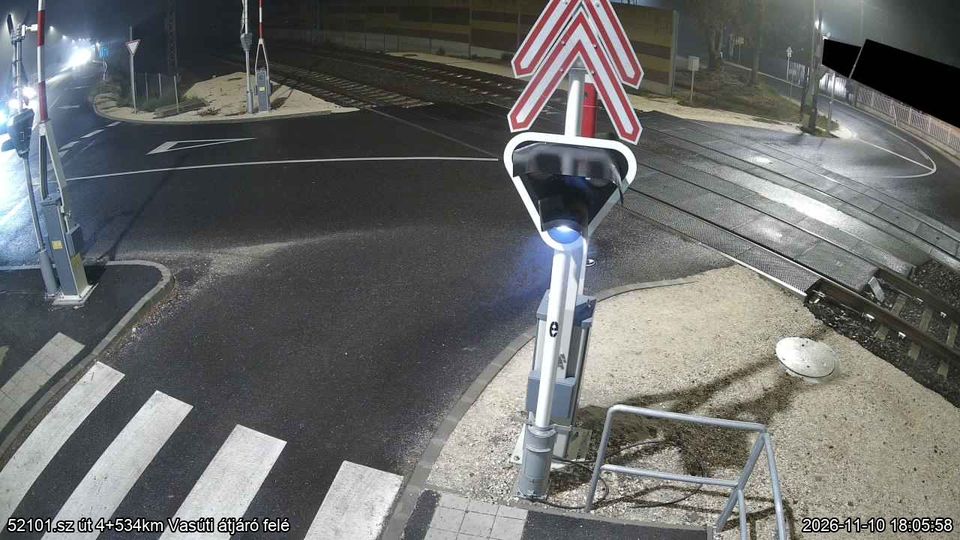
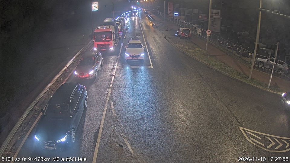
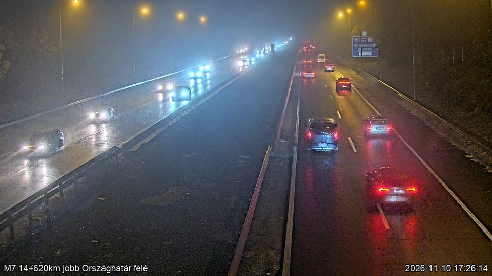
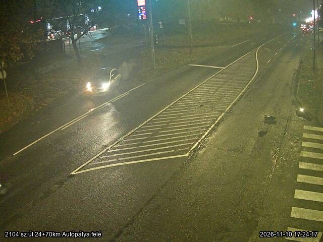
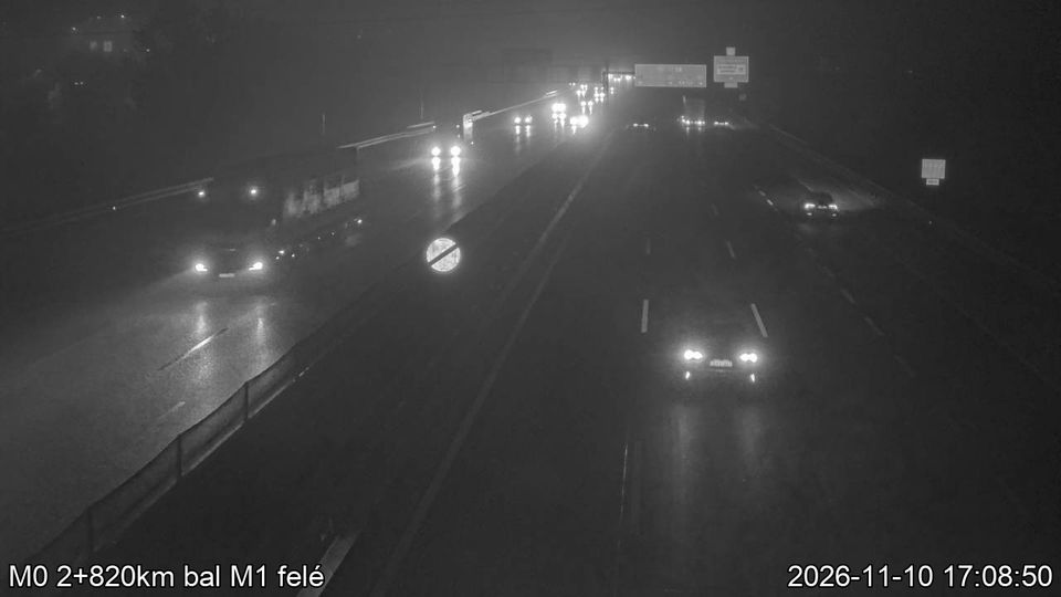
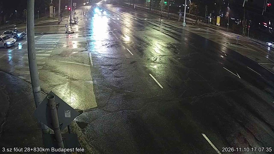
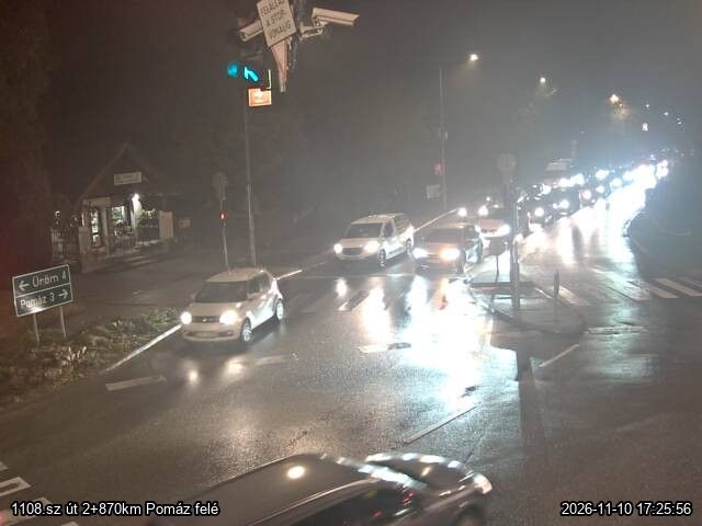
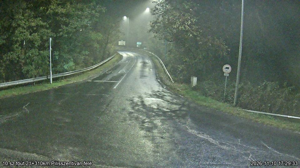
Central Hungary stretches from the Danube Bend to the northern edge of the Great Hungarian Plain, encompassing Budapest’s hill country and the level expanses of Pest County. The Danube forms the region’s central axis, with Budapest spread across both banks and the historic Buda Castle District above the western shore. The city’s riverside panorama, Castle District and Andrássy Avenue are together inscribed as a UNESCO World Heritage site. Beyond the capital, commuter towns and farmland extend across Pest County, while the wooded Buda Hills provide a marked contrast to the plain. Browse other webcams across Central Hungary to place this setting in a wider geographic context. Generated by AI








Featured webcams










Popular webcams




Recently added webcams
Explore cities and regions of Central Hungary
Central Hungary
165 webcams 41 cities
Abony
2 webcams
Alsonemedi
2 webcams
Aszod
2 webcams
Biatorbagy
5 webcams
Budakalasz
5 webcams
Budakeszi
3 webcams
Budaors
10 webcams
Budapest
16 webcams
Dobogókő
1 webcam
Domsod
2 webcams
Dunaharaszti
7 webcams
Dunakeszi
5 webcams
Dunavarsany
7 webcams
Erd
5 webcams
Fot
5 webcams
God
4 webcams
Godollo
7 webcams
Gyal
3 webcams
Herceghalom
2 webcams
Hermány
2 webcams
Kerepes
1 webcam
Kistarcsa
3 webcams
Leanyfalu
4 webcams
Letkes
2 webcams
Mende
2 webcams
Mogyorod
1 webcam
Monor
2 webcams
Nagymaros
2 webcams
Nagytarcsa
2 webcams
Orkeny
3 webcams
Piliscsaba
3 webcams
Pilisszentivan
2 webcams
Pilisvorosvar
3 webcams
Szentendre
11 webcams
Szigetszentmiklos
8 webcams
Torokbalint
5 webcams
Ullo
1 webcam
Vac
3 webcams
Vecses
6 webcams
Veresegyhaz
2 webcams
Visegrad
4 webcams