Cartago Province
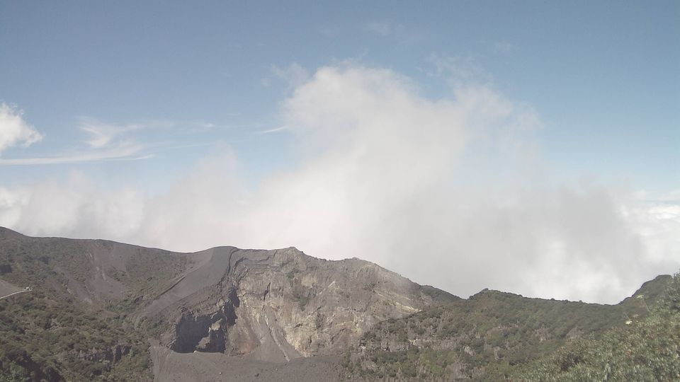
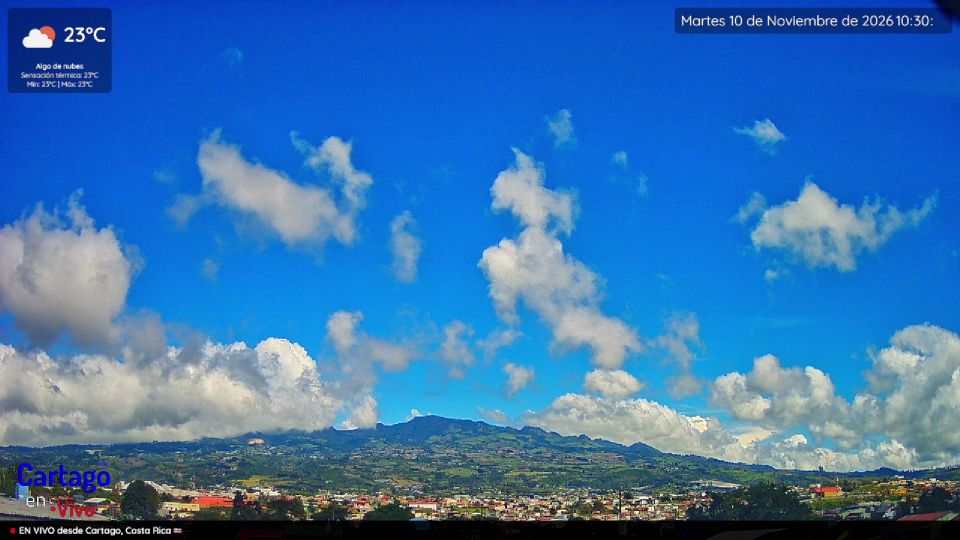
The terrain of Cartago Province ranges from volcanic uplands around Irazú and Turrialba in the north to the rugged slopes of the Talamanca Range in the south, creating a land of cool highlands, deep valleys and humid forest. The Reventazón River runs through its eastern interior, while the Turrialba area combines farming communities with one of Costa Rica’s active volcanoes. In Cartago city, the Basílica de Nuestra Señora de los Ángeles is the focus of the annual Romería pilgrimage; the city was Costa Rica’s capital until 1823. Coffee, vegetables and dairy farming remain important across the uplands. Browse more webcams from nearby areas to broaden your perspective on Cartago Province. Generated by AI


Recently added webcams
Explore cities and regions of Cartago Province
Cartago Province
2 webcams 2 cities