Aksaray
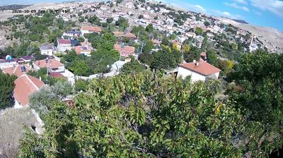
The Central Anatolian plateau and the salt flats of Tuz Gölü define much of Aksaray – dryland farming, livestock and transport routes have long shaped settlement across this open province. The city of Aksaray lies on historic routes between Ankara and Cappadocia, while the Melendiz Stream has cut the Ihlara Valley into volcanic rock to the east. Rock-hewn churches there recall the area’s Byzantine Christian past. Near Sultanhanı, the monumental Sultan Han caravanserai survives as an important Seljuk-era stop on the old trade road. Browse other webcams across Aksaray Province to place this setting in a wider geographic context. Generated by AI


Featured webcams


Popular webcams
Recently added webcams
Explore cities and regions of Aksaray
Aksaray
3 webcams 1 city