 Wojnowice: kościelna 6: Parafia Podwyższenia Krzyża świętego
Among the places of the Silesian Voivodeship, Wojnowice stands out for its rural setting close to Poland’s border with the Czech Republic. The village belongs to the Odra River basin, in a lowland borderland where fields, farmsteads and modest residential buildings shape the settlement rather than an urban centre. A Catholic church forms an important point of local religious life, with an interior marked by an elaborate altar, carved woodwork and devotional decoration. Wojnowice is part of historic Upper Silesia, a region where Polish, Czech and German influences have met across nearby frontiers for centuries. It remains a lived-in locality that reflects the small-scale settlement and parish traditions of southern Poland.
Generated by AI

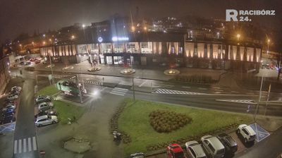
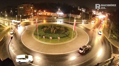



Wojnowice lies along the broad Odra valley east of Wrocław, where the flat Lower Silesian plain is shaped by farmland, watercourses and scattered settlements. The village is best known for Wojnowice Castle, a 16th-century Renaissance residence enclosed by a moat. Its brick architecture and waterside setting preserve the character of a noble country seat rather than an urban fortress. Wojnowice makes a quiet stop for travellers exploring the historic countryside around Wrocław and the Odra’s lowland corridor. Continue with other webcams from the area to see how this part of Lower Silesia connects regionally.
1 webcam
Among the regions of Poland, Lower Silesian Voivodeship stands out for the meeting of the Sudetes, the Oder valley and historic Wrocław. Its southern edge reaches the Karkonosze range, where Śnieżka rises as the highest peak of the Sudetes, while broad lowlands and river corridors shape the north. Wrocław is the regional centre, known for its Market Square, the cathedral district of Ostrów Tumski and the UNESCO-listed Centennial Hall. Further west, Książ Castle near Wałbrzych recalls the area’s long Silesian past. Browse additional webcams around the region to extend your view of Lower Silesia.
75 webcams
Poland stretches from the Baltic Sea coast in the north to the Carpathian Mountains along its southern frontier, encompassing broad lowlands, lake districts and upland ranges. The Vistula, the country’s longest river, links Kraków and Warsaw before reaching the Baltic near Gdańsk, while the Masurian Lake District is defined by a dense network of lakes. Kraków’s historic centre, including Wawel Castle, recalls Poland’s former royal capital; Warsaw’s rebuilt Old Town speaks to the city’s recovery after the Second World War. The Białowieża Forest preserves one of Europe’s last primeval lowland forests and is home to European bison. Follow how Poland’s regions relate to one another by browsing webcams across the country.
716 webcams