 Pist
The Opava Hilly Land defines the setting of Pišť — gentle, cultivated terrain places this municipality in Czech Silesia, close to the Polish border. Pišť belongs to the Hlučín Region, a borderland whose experience of Prussian and later Czechoslovak rule helped form a distinct regional identity. The settlement lies in the Moravian-Silesian Region, northwest of Ostrava, amid a network of small communities in open countryside. Rather than an urban centre, Pišť is defined by fields, family homes and local roads. It represents the settled, cross-border character of Hlučínsko, an area where Czech and Silesian traditions have long intersected.
Generated by AI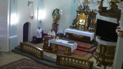

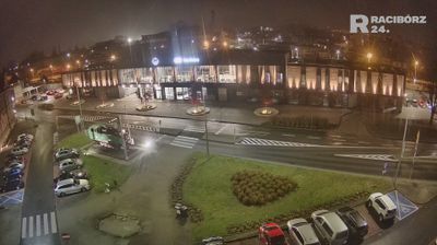
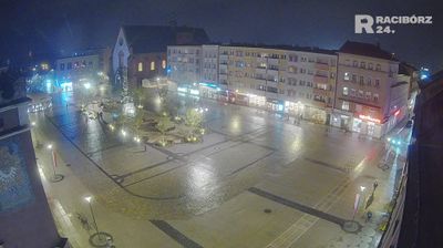

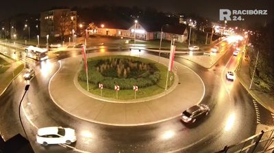


Píšť is recognised across Czech Silesia for its position beside the Polish border, in the Hlučín area north of Opava. It lies in low, open agricultural country rather than the mountain terrain associated with other parts of Moravia and Silesia; the Opava River crosses the district to the south before joining the Oder. The village belongs to a borderland whose modern identity was shaped when the Hlučín region passed from Prussia to Czechoslovakia in 1920 under the Treaty of Versailles. This history helps explain the area’s Czech, Polish and German cultural connections. Explore nearby webcam locations that provide complementary perspectives on Píšť and Czech Silesia.
1 webcam
Moravian-Silesian Region combines an industrial legacy with mountain terrain in a way that reflects its position between the historic lands of Moravia and Silesia on Czechia’s northeastern frontier. Ostrava, its largest city, developed around coal mining and ironmaking; the former Vítkovice ironworks, now the Dolní Vítkovice cultural complex, remain a defining reminder of that era. Beyond the urban basin, the Beskydy range rises in the southeast, while the Oder has its source in the Oderské vrchy. Opava adds another thread of Silesian identity through its historic centre and cultural life. Browse additional webcams from the surrounding area to extend your view of the Moravian-Silesian Region.
119 webcams
The terrain of Czechia ranges from fertile lowlands in southern Moravia to mountain ridges along the northern frontier, giving this Central European country a distinctly varied geography. The Vltava runs through Prague before joining the Elbe, while the Krkonoše form part of the border with Poland and include Sněžka, Czechia’s highest mountain. Prague’s historic centre, with Prague Castle and Charles Bridge, reflects the city’s long role as a political and cultural centre. Beyond the capital, Bohemia is known for spa towns and brewing, and Moravia for wine-growing traditions. View additional webcams nearby to better understand how Czechia relates to its Central European surroundings.
1.4K webcams