 Waverly: I-80: I 80 at 84th St: Various
Tucked into the broad Great Plains of southeastern Nebraska, Marian Center is a place whose character is shaped by cultivated land and the Interstate 80 corridor. Northeast of Lincoln in Lancaster County, this rural fringe combines large fields, roadside tree belts and broad transport rights-of-way. I-80 is Nebraska’s principal east–west interstate route, linking the region to a transcontinental highway network and carrying local traffic alongside long-haul freight. Lincoln, the state capital, lies nearby; its Nebraska State Capitol, completed in 1932 to a design by Bertram Goodhue, is one of the city’s defining civic landmarks. Here, transportation and agriculture share the same open plains setting.
Generated by AI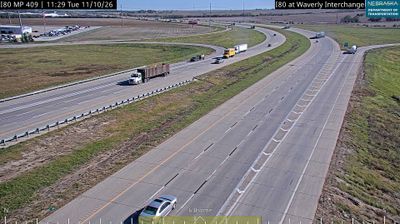


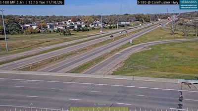


Waverly occupies a gently rolling prairie corridor in southeastern Nebraska’s Lancaster County, northeast of Lincoln. The community lies within the Salt Creek watershed, where open farmland and broad skies mark the transition from the state capital’s urban edge to rural Nebraska. U.S. Route 6 connects Waverly with Lincoln and eastern Nebraska along the historic Grand Army of the Republic Highway, a transcontinental automobile route. Local schools, businesses, and residential streets sustain an active small-town rhythm, while Lincoln brings the Nebraska State Capitol, museums, and university life to the wider area. Explore nearby locations that provide complementary perspectives on Waverly and southeastern Nebraska.
4 webcams
Nebraska occupies a broad central stretch of the Great Plains in the United States. The Platte River crosses its southern half, its wide valley long serving as a natural east–west corridor through the prairie. In the north, the Nebraska Sandhills form one of the world’s largest areas of grass-stabilized sand dunes, while western Nebraska becomes drier and more rugged. Much of the Oregon Trail followed the Platte River corridor, linking the state to the great nineteenth-century migration west. Today, working farms, ranches, university cities and expansive open country all remain central to Nebraska’s identity. Explore other webcams in Nebraska to compare prairie, river-valley and Sandhills settings around the state.
328 webcams
The Atlantic, Pacific and Gulf coasts define much of the United States — their ports, fisheries and trade routes have long tied the country’s economy to the wider world. Between them, the Rocky Mountains, Great Plains and Mississippi River basin form sharply different regions, from high western ranges to broad agricultural heartlands. Cities carry much of the national story: New York’s Statue of Liberty, a gift from France dedicated in 1886, remains an enduring symbol, while Washington, DC concentrates major federal institutions. Indigenous nations have shaped these lands for millennia, and their living cultures remain essential to the country’s identity. Find related webcams in the surrounding areas to build a fuller picture of the United States.
32K webcams