 Lincoln: Haymarket: I-180: BNSF Downtown Lincoln: various views
Lincoln straddles Salt Creek in southeastern Nebraska, and its position on the Great Plains has made it the state capital and a regional center for government and education. The city grew after the capital moved here in 1867, when it was renamed from Lancaster in honor of Abraham Lincoln. Nebraska State Capitol, completed in 1932 to a design by Bertram Goodhue, is distinguished by its tall central tower and interior art program. The University of Nebraska–Lincoln, founded in 1869, gives the city a major campus at the heart of its urban fabric. I-180 forms a short interstate approach between I-80 on Lincoln's north side and the center, reflecting the city's role as an administrative and university hub.
Generated by AI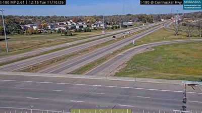


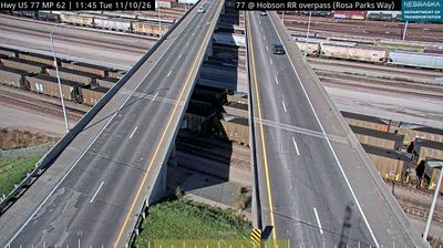
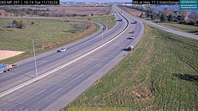

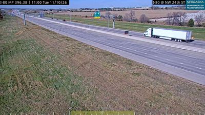


Lincoln combines the practical rhythm of a Plains capital with the energy of a major university city in a way that reflects its central role in southeastern Nebraska. Set in the Salt Creek watershed on the Great Plains, it is Nebraska’s state capital and a regional centre for government, education and sport. The Nebraska State Capitol, completed in 1932 and designed by Bertram Goodhue, remains the city’s defining civic landmark. The University of Nebraska–Lincoln and its Memorial Stadium give the city a strong collegiate identity, while the restored Haymarket district recalls its railroad-era commercial past. Find related webcams around Lincoln and southeast Nebraska to build a fuller picture of this Plains capital.
10 webcams
Nebraska occupies a broad central stretch of the Great Plains in the United States. The Platte River crosses its southern half, its wide valley long serving as a natural east–west corridor through the prairie. In the north, the Nebraska Sandhills form one of the world’s largest areas of grass-stabilized sand dunes, while western Nebraska becomes drier and more rugged. Much of the Oregon Trail followed the Platte River corridor, linking the state to the great nineteenth-century migration west. Today, working farms, ranches, university cities and expansive open country all remain central to Nebraska’s identity. Explore other webcams in Nebraska to compare prairie, river-valley and Sandhills settings around the state.
325 webcams
The Atlantic, Pacific and Gulf coasts define much of the United States — their ports, fisheries and trade routes have long tied the country’s economy to the wider world. Between them, the Rocky Mountains, Great Plains and Mississippi River basin form sharply different regions, from high western ranges to broad agricultural heartlands. Cities carry much of the national story: New York’s Statue of Liberty, a gift from France dedicated in 1886, remains an enduring symbol, while Washington, DC concentrates major federal institutions. Indigenous nations have shaped these lands for millennia, and their living cultures remain essential to the country’s identity. Find related webcams in the surrounding areas to build a fuller picture of the United States.
32K webcams