 Vogar: Þrengsli
Among the road landscapes of southwest Iceland, Þrengslavegur stands out for its route through the low volcanic country of Þrengsli. This stretch forms part of Road 39, the direct connection between the Ring Road near Hveragerði and Þorlákshöfn, a fishing town on Iceland’s Atlantic coast. The terrain is largely open and treeless, marked by dark gravel, grassland and long roadside corridors rather than dense settlement. It represents a practical part of South Iceland’s transport network, linking inland traffic with a coastal community. Þorlákshöfn developed around its harbour and remains closely associated with fishing, giving this inland road a direct connection to the sea.
Generated by AI


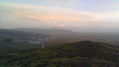

Vogar sits on the shore of Faxaflói Bay on Iceland’s Reykjanes Peninsula, where broad lava fields run down towards the North Atlantic coast. The settlement is part of Vatnsleysuströnd, a low-lying coastal district shaped by fishing and travel along the peninsula’s northern side. Its streets are a quieter counterpoint to the busier routes between Reykjavík and Keflavík, while the sea remains central to local life. Vogar lies within the Reykjanes UNESCO Global Geopark, a volcanic region of fissures, lava formations and geothermal activity. Historic farms and churches along the coast recall the peninsula’s seafaring past. Browse additional webcams from the Reykjanes Peninsula to extend your view of southwest Iceland.
4 webcams
Volcanic lava fields and fissure zones define much of Southern Peninsula – geothermal resources, fishing settlements and air links shape this southwestern corner of Iceland. The region lies on the Reykjanes Peninsula, where the Mid-Atlantic Ridge reaches land and volcanic activity continually remakes the terrain. Its exposed Atlantic coast and largely treeless expanses contrast with developed areas around Keflavík and the geothermal bathing complex of the Blue Lagoon. Fishing remains central to local identity, while Keflavík International Airport links this small region with the wider world. Find related webcams across the Reykjanes Peninsula to build a fuller picture of Southern Peninsula.
17 webcams
Iceland occupies a volcanic North Atlantic island on the Mid-Atlantic Ridge, between Europe and North America. Glaciers, black-sand shores and active geothermal areas form a terrain in constant dialogue with the weather; Vatnajökull is Europe’s largest glacier by volume. The Golden Circle links Þingvellir National Park, the Geysir geothermal area and Gullfoss waterfall, while Reykjavík concentrates much of the country’s contemporary culture and design. At Þingvellir, the Alþingi first assembled in 930. Fishing, wool knitwear and geothermal energy remain central to Icelandic life. Find related webcams in the surrounding area to build a fuller picture of Iceland.
657 webcams