 Vijfheerenlanden: A2
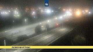
The landscape around Vijfheerenlanden is low-lying and water-managed, which has shaped both the built environment and local life. This Utrecht municipality occupies part of the river country south of the Lek, where dikes, drainage channels and compact settlements organize a predominantly open plain. The A2 is a principal Dutch motorway through this setting, linking Amsterdam and Utrecht with ’s-Hertogenbosch and Eindhoven. Near Vianen, its broad transport corridor runs beside commercial land and local roads. Vijfheerenlanden was created in 2019 through the merger of Leerdam, Vianen and Zederik, bringing together communities long connected by rivers, polders and trade routes.
Generated by AI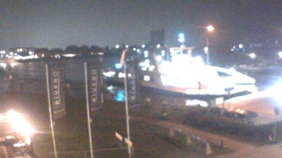

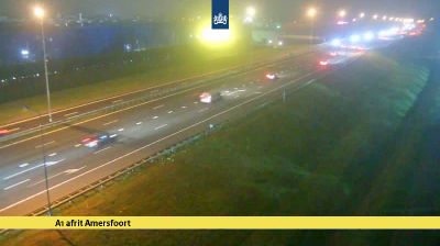

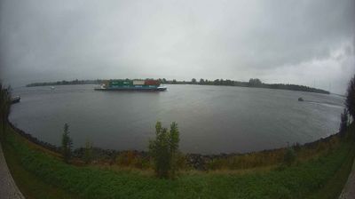

Vijfheerenlanden has served as a riverland municipality in Utrecht since 2019. Its territory lies between the Lek and Linge rivers, where dikes, drainage canals and pasture polders define a low-lying Dutch landscape. The municipality brings together places including Leerdam, Vianen and Meerkerk, each with a distinct relationship to these waterways. Leerdam is internationally associated with glassmaking, a craft that remains central to the town’s identity through its glass museum and long-established industry. Vianen, on the Lek, retains the character of a historic small town, while cycling routes trace the dikes and open fields around it. Find related webcams in the surrounding area to build a fuller picture of Vijfheerenlanden and Utrecht.
1 webcam
Within the Netherlands, Utrecht distinguishes itself through its central position and the contrast between a historic city and the wooded Utrechtse Heuvelrug ridge. The province is crossed by the Kromme Rijn, a former main branch of the Rhine, flowing through an area of orchards and country estates southeast of Utrecht city. The Dom Tower is the city’s defining medieval landmark, while the Rietveld Schröder House, completed in 1924, is a UNESCO World Heritage Site and a landmark of the De Stijl movement. Canals, cycling routes and rail connections reinforce Utrecht’s role as a compact national meeting point. Continue to other webcams in Utrecht to compare urban scenes and landscapes across this central Dutch province.
4 webcams
Among the countries of northwestern Europe, the Netherlands stands out for its carefully managed lowlands in the Rhine–Meuse–Scheldt delta. Much of the country lies low in relation to the sea, and dikes, dunes, pumps and polders are integral to its everyday geography. The North Sea coast ranges from broad beaches to the Wadden Sea, a tidal area shared with Germany and Denmark. Amsterdam’s 17th-century canal ring recalls an era when Dutch trade connected the republic with ports around the world. Beyond the capital, bicycles, dairy farming, bulb fields and compact historic cities give the country a distinct rhythm. Rotterdam’s port and the Delta Works show how maritime commerce and water engineering remain central. View additional webcams nearby to better understand how the Rhine–Meuse–Scheldt delta relates to its North Sea surroundings.
126 webcams