 Amersfoort: Rijksweg
Amersfoort lies along the Eem, where the low wooded slopes of the Utrechtse Heuvelrug meet the Dutch lowlands. Rijksweg A1 runs past the city’s eastern side, carrying long-distance traffic between the Randstad and the German border as part of European route E231. The road network gives this historic city a distinctly connected modern edge, while Amersfoort’s old centre retains canals, brick merchants’ houses and the medieval Koppelpoort, a combined land and water gate. Its towered walls recall Amersfoort’s role as a fortified settlement in the former Prince-Bishopric of Utrecht.
Generated by AI
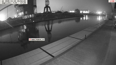
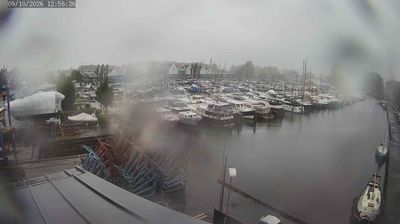
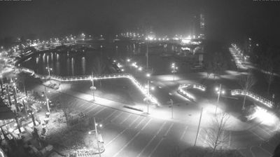
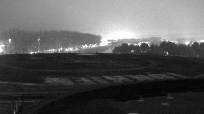


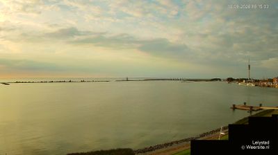

Amersfoort combines a compact medieval core with the practical energy of a modern Dutch city in a way that reflects its position on the River Eem in Utrecht province. The 15th-century Koppelpoort, an unusual gate combining land and water defences, remains the defining monument of the former ramparts. The Onze Lieve Vrouwetoren rises above the centre; its church was largely demolished in the 18th century, leaving the tower as a city landmark. Amersfoort is also the birthplace of Piet Mondrian, whose early life is explored at the Mondriaanhuis. View additional webcams nearby to better understand how Amersfoort relates to the waterways and towns of Utrecht.
3 webcams
Within the Netherlands, Utrecht distinguishes itself through its central position and the contrast between a historic city and the wooded Utrechtse Heuvelrug ridge. The province is crossed by the Kromme Rijn, a former main branch of the Rhine, flowing through an area of orchards and country estates southeast of Utrecht city. The Dom Tower is the city’s defining medieval landmark, while the Rietveld Schröder House, completed in 1924, is a UNESCO World Heritage Site and a landmark of the De Stijl movement. Canals, cycling routes and rail connections reinforce Utrecht’s role as a compact national meeting point. Continue to other webcams in Utrecht to compare urban scenes and landscapes across this central Dutch province.
5 webcams
Among the countries of northwestern Europe, the Netherlands stands out for its carefully managed lowlands in the Rhine–Meuse–Scheldt delta. Much of the country lies low in relation to the sea, and dikes, dunes, pumps and polders are integral to its everyday geography. The North Sea coast ranges from broad beaches to the Wadden Sea, a tidal area shared with Germany and Denmark. Amsterdam’s 17th-century canal ring recalls an era when Dutch trade connected the republic with ports around the world. Beyond the capital, bicycles, dairy farming, bulb fields and compact historic cities give the country a distinct rhythm. Rotterdam’s port and the Delta Works show how maritime commerce and water engineering remain central. View additional webcams nearby to better understand how the Rhine–Meuse–Scheldt delta relates to its North Sea surroundings.
132 webcams