 Usti nad Orlici: Letiště Ústí nad Orlicí - LKUO
Among the places of the Pardubice Region, Letiště Ústí nad Orlicí stands out for its open grass airfield amid the low, wooded hills of eastern Bohemia. Designated LKUO, the aerodrome lies near Ústí nad Orlicí, whose built-up area follows the valley of the Tichá Orlice River. The broad expanse of turf, small operational buildings and surrounding farmland give the site the scale of a regional flying field rather than a commercial airport. Ústí nad Orlicí has a long association with textile manufacturing, an industry that shaped the town’s growth. This setting links the settled Tichá Orlice valley with the rolling country extending toward the Orlické Mountains.
Generated by AI
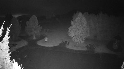
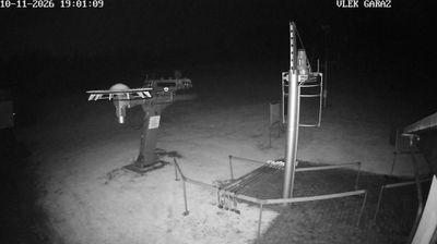

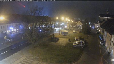
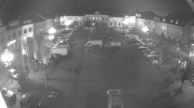
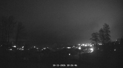


Set in the Tichá Orlice valley in the foothills of the Orlické Mountains, Ústí nad Orlicí is a town whose character is shaped by its river corridor and surrounding wooded uplands. The town stands where the Tichá Orlice meets Knapovecký Brook, in eastern Bohemia near the Moravian border. Its development is closely tied to textile manufacturing, which expanded here during the 19th century and left a lasting industrial imprint. Mírové náměstí forms the historic centre, while the 1930s Roškot Theatre, designed by architect Kamil Roškot, is a notable modernist landmark. Rail links have also long made the town an important stop on routes across Czechia. Continue through nearby webcams to explore different parts of the Pardubice Region.
2 webcams
Pardubický kraj has been an eastern Bohemian heartland of the Czech lands since the Middle Ages. The Labe crosses its western lowlands around Pardubice before the terrain rises toward the Orlické Mountains and the Žďárské vrchy. Pardubice developed around its Renaissance castle and is associated with the Pardubice Steeplechase, a race first held in 1874. To the south-east, Litomyšl is known for its Renaissance château, inscribed on UNESCO’s World Heritage List, while Kladruby nad Labem preserves the stud landscape linked to the Kladruber horse. Browse additional webcams nearby to understand how Pardubický kraj meets the lowlands and uplands around it.
90 webcams
The terrain of Czechia ranges from fertile lowlands in southern Moravia to mountain ridges along the northern frontier, giving this Central European country a distinctly varied geography. The Vltava runs through Prague before joining the Elbe, while the Krkonoše form part of the border with Poland and include Sněžka, Czechia’s highest mountain. Prague’s historic centre, with Prague Castle and Charles Bridge, reflects the city’s long role as a political and cultural centre. Beyond the capital, Bohemia is known for spa towns and brewing, and Moravia for wine-growing traditions. View additional webcams nearby to better understand how Czechia relates to its Central European surroundings.
1.2K webcams