 Ceska Trebova: Ski areál Peklák - Česká Třebová
The landscape around Česká Třebová is shaped by wooded hills and the Třebovka valley, which have shaped both the built environment and local life. Peklák, on the town’s edge, is a compact recreation area where ski slopes, a lift and forest routes connect the built-up valley with higher ground. Česká Třebová grew into one of the Czech lands’ important railway towns after the railway arrived in the 19th century, and rail remains central to its identity. The historic centre is focused on Old Town Square, while the surrounding hills offer a marked contrast to the major rail corridors below. This is eastern Bohemia at a meeting point of town, transport infrastructure and accessible upland recreation.
Generated by AI
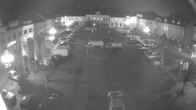

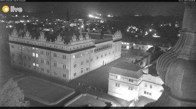
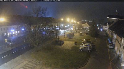
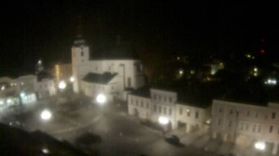

Built around a medieval settlement in the Třebovka River valley, Česká Třebová grew into one of Czechia’s principal railway towns. The arrival of the railway in 1845 transformed its role, and the town remains an important junction on routes linking Bohemia, Moravia and beyond. Railway traditions are still central to local identity, while the Romanesque Rotunda of St Catherine, dating from the 13th century, preserves a much older chapter of its story. Rolling uplands and woodland lie close to the urban centre, giving the town a distinctly eastern-Bohemian setting. See how Česká Třebová fits into eastern Bohemia by browsing webcams across the Pardubice Region.
3 webcams
Pardubický kraj has been an eastern Bohemian heartland of the Czech lands since the Middle Ages. The Labe crosses its western lowlands around Pardubice before the terrain rises toward the Orlické Mountains and the Žďárské vrchy. Pardubice developed around its Renaissance castle and is associated with the Pardubice Steeplechase, a race first held in 1874. To the south-east, Litomyšl is known for its Renaissance château, inscribed on UNESCO’s World Heritage List, while Kladruby nad Labem preserves the stud landscape linked to the Kladruber horse. Browse additional webcams nearby to understand how Pardubický kraj meets the lowlands and uplands around it.
100 webcams
The terrain of Czechia ranges from fertile lowlands in southern Moravia to mountain ridges along the northern frontier, giving this Central European country a distinctly varied geography. The Vltava runs through Prague before joining the Elbe, while the Krkonoše form part of the border with Poland and include Sněžka, Czechia’s highest mountain. Prague’s historic centre, with Prague Castle and Charles Bridge, reflects the city’s long role as a political and cultural centre. Beyond the capital, Bohemia is known for spa towns and brewing, and Moravia for wine-growing traditions. View additional webcams nearby to better understand how Czechia relates to its Central European surroundings.
1.4K webcams