 Trzcinica: Karpacka Troja w Trzcinicy na żywo
Among the places of Poland’s Subcarpathian Voivodeship, Trzcinica stands out for its archaeological hillfort known as Carpathian Troy. Set in the foothills of the Carpathian Mountains, the site preserves evidence of settlement from the Early Bronze Age and the early Middle Ages. Excavations uncovered extensive timber-and-earth fortifications and thousands of artefacts, placing it among Poland’s most important prehistoric sites. The Skansen Archeologiczny Karpacka Troja open-air museum reconstructs sections of the defences and dwellings, explaining how successive communities occupied the ridge. Woods and cultivated fields surround the earthworks, with the town of Jasło nearby in the wider southeastern Polish landscape.
Generated by AI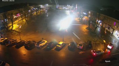

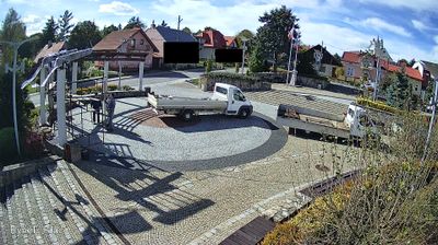

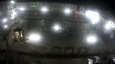
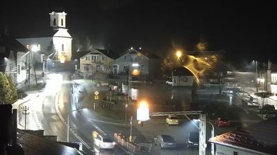



Trzcinica lies along the Ropa River valley, where the low, wooded foothills of the Carpathians shape the western edge of Poland’s Subcarpathian Voivodeship. The village is known for the archaeological site on Wały Królewskie hill, a fortified settlement occupied in the Early Bronze Age and again in the early Middle Ages. Karpacka Troja, an archaeological open-air museum, interprets these layers of settlement through reconstructed buildings and excavated defenses. Near Jasło, this small locality provides a tangible link to communities that lived here thousands of years apart. Browse additional webcams from the Ropa valley and Subcarpathian Voivodeship to extend your view of this Carpathian borderland.
1 webcam
Built around the Carpathian foothills and the upper San River basin, Subcarpathian Voivodeship grew into Poland’s southeastern borderland region. Rzeszów, the regional capital, is its main urban centre, while the land rises southward towards the Low Beskids and Bieszczady Mountains. The San and its tributaries cut through valleys of farmland and forest, linking small towns with the higher Carpathian interior. Wooden Roman Catholic churches and Orthodox tserkvas reflect centuries of Polish and Ukrainian cultural contact, and several local tserkvas form part of a UNESCO World Heritage listing. Continue through the area to see how this part of southeastern Poland connects regionally.
93 webcams
Poland stretches from the Baltic Sea coast in the north to the Carpathian Mountains along its southern frontier, encompassing broad lowlands, lake districts and upland ranges. The Vistula, the country’s longest river, links Kraków and Warsaw before reaching the Baltic near Gdańsk, while the Masurian Lake District is defined by a dense network of lakes. Kraków’s historic centre, including Wawel Castle, recalls Poland’s former royal capital; Warsaw’s rebuilt Old Town speaks to the city’s recovery after the Second World War. The Białowieża Forest preserves one of Europe’s last primeval lowland forests and is home to European bison. Follow how Poland’s regions relate to one another by browsing webcams across the country.
715 webcams