 Debowiec: Poland
The Jasiołka River valley defines the setting of Dębowiec — low, wooded foothills and farmland give this Subcarpathian settlement a distinctly southern Polish character. Located south of Jasło, Dębowiec is the seat of the surrounding gmina and has a compact centre of detached homes, local services and village streets rather than the dense fabric of a town. Its best-known religious site is the Sanctuary of Our Lady of La Salette, cared for by the Missionaries of La Salette; the order’s presence makes the village a destination for Catholic pilgrims. The wider area belongs to the foothills of the Carpathians, where small settlements, cultivated fields and wooded ridges form the transition toward Poland’s southeastern mountains. Dębowiec presents the everyday residential side of Podkarpackie alongside an enduring devotional tradition.
Generated by AI
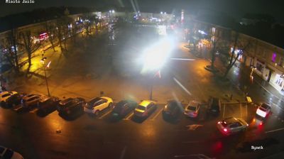



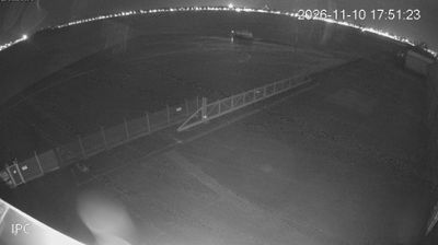


Tucked along the Wisłoka River in the foothills of the Carpathians, Dębowiec is a place whose character is shaped by its rural river-valley setting. This locality in Poland’s Subcarpathian Voivodeship lies near Jasło, within a region where cultivated fields, wooded slopes and small settlements follow the contours of the lower mountains. Dębowiec is also known for the Sanctuary of Our Lady of Dębowiec, an important Roman Catholic pilgrimage destination that gives the community a spiritual role beyond its modest size. Continue through nearby webcams to explore different parts of the Subcarpathian Voivodeship.
2 webcams
Built around the Carpathian foothills and the upper San River basin, Subcarpathian Voivodeship grew into Poland’s southeastern borderland region. Rzeszów, the regional capital, is its main urban centre, while the land rises southward towards the Low Beskids and Bieszczady Mountains. The San and its tributaries cut through valleys of farmland and forest, linking small towns with the higher Carpathian interior. Wooden Roman Catholic churches and Orthodox tserkvas reflect centuries of Polish and Ukrainian cultural contact, and several local tserkvas form part of a UNESCO World Heritage listing. Continue through the area to see how this part of southeastern Poland connects regionally.
93 webcams
Poland stretches from the Baltic Sea coast in the north to the Carpathian Mountains along its southern frontier, encompassing broad lowlands, lake districts and upland ranges. The Vistula, the country’s longest river, links Kraków and Warsaw before reaching the Baltic near Gdańsk, while the Masurian Lake District is defined by a dense network of lakes. Kraków’s historic centre, including Wawel Castle, recalls Poland’s former royal capital; Warsaw’s rebuilt Old Town speaks to the city’s recovery after the Second World War. The Białowieża Forest preserves one of Europe’s last primeval lowland forests and is home to European bison. Follow how Poland’s regions relate to one another by browsing webcams across the country.
716 webcams