 South Setauket: Stony Brook
South Setauket combines quiet residential neighbourhoods with the academic presence of nearby Stony Brook University in a way that reflects its position on Long Island’s North Shore. Part of the Town of Brookhaven in Suffolk County, it belongs to the continuous suburban development east of New York City. Long Island Sound lies to the north, separating the island from Connecticut. The broader Setauket area retains a link to colonial Long Island and to the Culper Spy Ring, which operated here during the American Revolution. Today, wooded plots and local streets sit alongside university and research-related buildings, giving the area a settled but working character.
Generated by AI

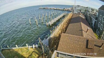
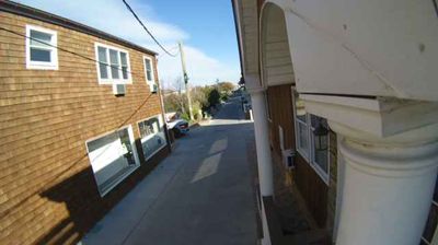



Tucked into the wooded North Shore of Long Island, South Setauket is a place whose character is shaped by its position near the coves and harbors of Long Island Sound. This Suffolk County community lies within the Town of Brookhaven, amid the low, glacially formed terrain that defines much of the island. The older Setauket area to the north is linked to the Culper Spy Ring, the Revolutionary War intelligence network that operated on Long Island. Local life is more residential than resort-oriented, while nearby shoreline communities keep the Sound and its maritime setting close at hand. Move on to other webcams on Long Island to compare shorelines and communities across New York.
4 webcams
New York has served as a commercial and transport heartland within the United States since the early 19th century. These coordinates lie in Central New York, near Oneida Lake, the largest lake entirely within the state. The lake and the nearby Mohawk Valley formed part of the wider corridor that made the Erie Canal, completed in 1825, a decisive link between the Hudson River and the Great Lakes. This is also part of the ancestral homeland of the Oneida people, one of the Haudenosaunee nations. Today, waterways, small lakeside communities and the canal-era landscape give the area a distinctly inland New York character. Explore nearby webcam locations that provide complementary perspectives on Central New York and Oneida Lake.
64 webcams
The Atlantic, Pacific and Gulf coasts define much of the United States — their ports, fisheries and trade routes have long tied the country’s economy to the wider world. Between them, the Rocky Mountains, Great Plains and Mississippi River basin form sharply different regions, from high western ranges to broad agricultural heartlands. Cities carry much of the national story: New York’s Statue of Liberty, a gift from France dedicated in 1886, remains an enduring symbol, while Washington, DC concentrates major federal institutions. Indigenous nations have shaped these lands for millennia, and their living cultures remain essential to the country’s identity. Find related webcams in the surrounding areas to build a fuller picture of the United States.
32K webcams