 Soka
Built around farming settlements beside the Ayase River, Yashio grew into a compact city on the lowland plain of southeastern Saitama. The river belongs to a managed network of waterways draining toward Tokyo Bay, and its embankments create a linear corridor amid closely packed housing, workshops and local streets. Yashio became a city in 1972 and remains shaped by the meeting of older agricultural land with Tokyo’s metropolitan fringe. The Tsukuba Express, opened in 2005, puts Yashio Station on the rail link between Akihabara and Tsukuba, reinforcing the city’s role as a residential and business base. Nearby Sōka is associated with crisp Sōka senbei rice crackers, a long-established regional specialty.
Generated by AI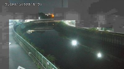
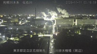
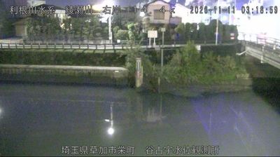



Soka combines Tokyo-bound commuter energy with the lingering character of an Edo-period post town in a way that reflects its position on the historic Nikkō Kaidō in eastern Saitama. The Ayase River passes through the city, while Soka Matsubara preserves a long stretch of pine-lined former highway, recalling the route that once linked Edo with Nikkō. The city is nationally associated with sōka senbei, crisp rice crackers traditionally seasoned with soy sauce; shops and local makers keep that specialty part of daily life. Rail connections to Tokyo make Soka a practical place to notice how the capital’s urban edge meets older road culture. Continue through nearby webcams to explore different parts of Saitama Prefecture.
2 webcams
The terrain of Saitama Prefecture ranges from low alluvial plains in the east to the forested Chichibu Mountains in the west, creating a clear transition from metropolitan districts to rural highlands. Much of central and eastern Saitama forms part of the Kantō Plain, where commuter cities, farmland and river corridors extend immediately north of Tokyo. The Arakawa crosses the prefecture, while the west is defined by wooded slopes and small mountain towns. Kawagoe retains streets of kura-style merchant warehouses that recall its importance as an Edo-period commercial centre. In Chichibu, the December Chichibu Night Festival is celebrated with imposing floats and fireworks. Explore nearby webcam locations that provide complementary perspectives on Saitama Prefecture.
41 webcams
Among the countries of East Asia, Japan stands out for its volcanic archipelago, stretching from the cool north of Hokkaido to subtropical Okinawa. Mount Fuji, the nation’s highest mountain, rises above central Honshu, while the Pacific Ocean and the Seto Inland Sea have long shaped settlement, fishing and travel. Tokyo pairs dense urban life with major museums and neighbourhood traditions; Kyoto preserves temples, gardens and the legacy of Japan’s imperial court. Seasonal customs give journeys a changing rhythm, from spring cherry blossom viewing to autumn leaves. Regional cooking is equally varied, with sushi, ramen and local specialties reflecting coastlines, climate and agriculture. Explore nearby webcam locations that provide complementary perspectives on Japan’s islands, cities and mountain regions.
1.3K webcams