 Sint-Katelijne-Waver
 straddles the transition between Mechelen’s urban fringe and the Kempen in Flanders, a position that has made market gardening central to local life. The municipality lies on the broad lowland between the Dijle and Nete river systems, where glasshouses and vegetable plots have long shaped the settled countryside. Horticulture remains a local specialty, represented by the Proefstation voor Groenteteelt, a research centre for vegetable production. Within the municipality, Onze-Lieve-Vrouw-Waver is known for the former Ursuline Institute and its Art Nouveau Wintertuin conservatory. Residential districts and local roads connect these separate settlements with nearby Mechelen and Antwerp.
Generated by AI


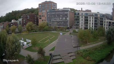
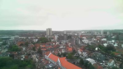


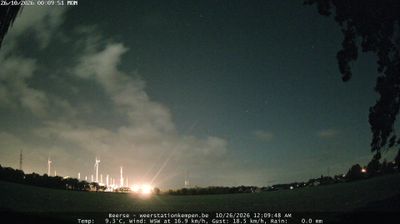

The flat, fertile lowlands of Flanders define the setting of Sint-Katelijne-Waver — market gardening has shaped its open fields, greenhouses and working rhythm for generations. This municipality in Antwerp Province is closely associated with vegetable production, and BelOrta, a major Belgian cooperative for fruit and vegetables, is based here. Beyond the agricultural landscape, Onze-Lieve-Vrouw-Waver is part of the municipality and known for the Wintertuin at the Ursuline Institute, an Art Nouveau interior crowned by a stained-glass dome. View additional webcams nearby to better understand how Sint-Katelijne-Waver relates to the Mechelen–Antwerp area.
1 webcam
Flanders occupies the low-lying northern half of Belgium. Its terrain runs from the North Sea coast and reclaimed polders to fertile river plains, with the Scheldt linking cities and ports before reaching the sea in the Netherlands. Dutch is the principal language, and the region's historic towns retain a strong civic identity: Bruges is known for its medieval centre, while Antwerp developed into one of Europe’s major port cities and a global diamond-trading centre. Flemish painting, lace-making and beer brewing remain central to the cultural story, alongside a contemporary design and food scene. Continue through nearby webcams to explore different parts of Flanders.
47 webcams
Belgium occupies a low-lying North Sea coastline and river plain in northwestern Europe. Dutch-speaking Flanders lies largely to the north, while French-speaking Wallonia reaches south towards the wooded Ardennes; Brussels is officially bilingual. The Scheldt and Meuse have long connected Belgian cities with the North Sea and continental Europe. Brussels’ Grand-Place, framed by ornate guildhalls and the Town Hall, is a UNESCO World Heritage site. Medieval Bruges retains canals and merchant architecture, while Antwerp remains a major port on the Scheldt. Belgian beer culture is recognised by UNESCO as intangible cultural heritage. See how Belgium connects with the North Sea coast and neighbouring regions by browsing webcams nearby.
94 webcams