 Saxnäs: Ölandsbron Lågbro västerut
Saxnäs stands at the Öland Bridge’s island end on the Kalmar Strait in Kalmar County, and this crossing has tied Öland more closely to Sweden’s mainland since opening in 1972. The 6,072-metre bridge joins the Färjestaden area with Kalmar and is Sweden’s longest bridge. Saxnäs belongs to Öland’s settled west coast, where roads connect coastal communities with the island’s open agricultural interior. Öland is known for its limestone terrain, while the Southern Öland agricultural landscape is inscribed on UNESCO’s World Heritage List. The bridge gives this modest coastal locality an important role as the principal fixed road connection between the island and mainland Sweden.
Generated by AI
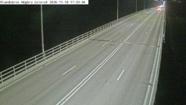
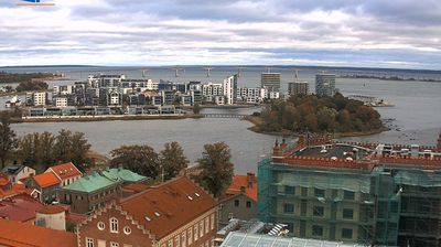
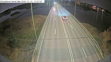
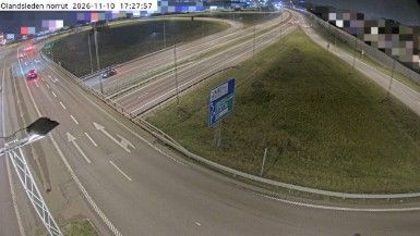

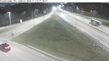

Saxnäs is best known within Kalmar County for its west-facing position on Öland’s shore of the Kalmar Strait. This small settlement lies near Färjestaden, where the island’s low, wooded coast faces the waters separating Öland from the mainland city of Kalmar. The Öland Bridge, opened in 1972, provides the road link across the strait and is a defining feature of journeys between island and mainland. Southern Öland’s agricultural landscape, shaped over centuries, is recognised as a UNESCO World Heritage site. Move on to other webcams in Kalmar County to compare coastal settings around Öland.
1 webcam
Kalmar County stretches from the Småland highlands to the Baltic Sea, encompassing a wooded mainland and the limestone island of Öland. The coast is broken by bays and islands, while the Kalmar Sound separates Öland from the Swedish mainland. Around Oskarshamn, on the county’s central coast, ferries link the shore with Gotland. In the city of Kalmar, Kalmar Castle recalls the medieval town’s role in Scandinavian politics; the Kalmar Union was agreed there in 1397. Öland’s open limestone plain, Stora Alvaret, forms part of the UNESCO-listed Agricultural Landscape of Southern Öland, in clear contrast to the inland forests and farmland. Browse other webcams across Kalmar County to place this setting in a wider geographic context.
13 webcams
Sweden combines Baltic coastal life with Arctic expanses in a way that reflects its position within northern Europe. Forests, lakes and long shorelines define much of the country, from Lake Vänern in the south to the Gulf of Bothnia and the mountains along the Norwegian border. Stockholm spreads across islands where Lake Mälaren meets the Baltic Sea, while the preserved 17th-century warship at the Vasa Museum recalls Sweden’s era as a major European power. Midsummer celebrations and the traditions of the Sámi people add further depth to its regional identity. Browse other webcams across Sweden to place this setting in a wider geographic context.
988 webcams