 Sackville Parish: Aulac
Aulac sits on the Tantramar Marshes in southeastern New Brunswick, Canada, where low-lying former tidal wetlands meet the upper reaches of the Bay of Fundy. The community lies near the Nova Scotia border and on the Trans-Canada Highway corridor, an important connection between the two Maritime provinces. Nearby Fort Beauséjour–Fort Cumberland National Historic Site occupies a strategic ridge above the Cumberland Basin. Built by the French in 1751 and captured by British forces in 1755, the fort recalls a contested colonial frontier. Dyked marshland and farmland around Aulac reflect generations of Acadian and later agricultural settlement, giving this small crossroads a distinctly open, borderland character.
Generated by AI


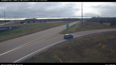
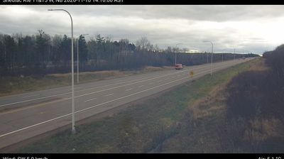

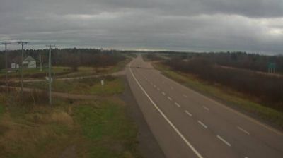

Sackville Parish has served as a rural parish in southeastern New Brunswick since 1786. It forms part of the low-lying Tantramar region, where the Tantramar River and tidal wetlands lead toward the Cumberland Basin, an arm of the Bay of Fundy. Centuries of dyking and farming have shaped these marshlands, reflecting the long Acadian presence along the Fundy coast. The Town of Sackville is home to Mount Allison University, founded in 1839, while the Sackville Waterfowl Park follows restored wetland habitat near the urban centre. Broad marshes, farmland and university life give the area a distinctive character. Explore nearby webcam locations that provide complementary perspectives on Sackville Parish and the Tantramar region.
1 webcam
New Brunswick occupies a forested Atlantic province in eastern Canada. The Saint John River runs through its interior toward the Bay of Fundy, whose exceptional tidal range shapes dramatic coastal mudflats, cliffs, and fishing communities. Fredericton, the provincial capital, stands on the river, while the province’s cities and rural districts reflect both Acadian and anglophone traditions. New Brunswick is Canada’s only officially bilingual province, with French and English integral to public life. Browse other webcams across Atlantic Canada to place New Brunswick in a wider geographic context.
51 webcams
Canada has served as a frontier between French and British colonial powers since the 17th century. The world’s second-largest country extends from Atlantic shores to the Pacific and Arctic coasts, with the Canadian Shield, the Rocky Mountains, the Great Lakes and the St. Lawrence River shaping its vast geography. First Nations, Inuit and Métis peoples are central to Canada’s identity, while Ottawa’s Parliament Hill represents its federal political life. French remains the official language of Quebec, adding a distinct dimension to the country’s public culture. See how Canada connects across North America by browsing webcams in neighbouring regions.
3.5K webcams