 Botsford Parish
Few places in southeastern New Brunswick have a history as closely tied to Acadian settlement as Beaubassin East. This rural community stretches across low, wooded country near the Northumberland Strait and includes Cap-Pelé, a long-established Acadian fishing community. French remains central to local identity alongside English and is reflected in everyday community life. Cap-Pelé is particularly associated with the inshore fishery and the traditional smoking of herring, a trade that gave this coast an enduring working character. Route 15 crosses the forest-edged terrain, linking the area with Shediac, Moncton and routes towards Prince Edward Island. Beaches and fishing harbours on the strait remain part of the area’s daily geography rather than a separate resort strip.
Generated by AI
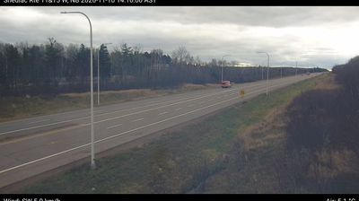

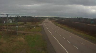

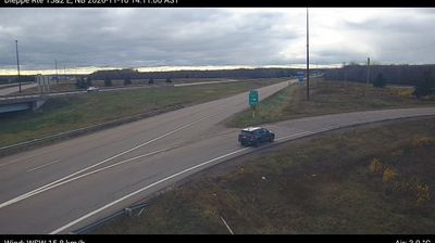
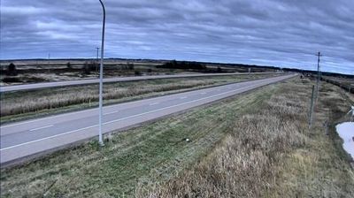


Botsford Parish is best known within New Brunswick for Cape Tormentine, a former ferry port on the Northumberland Strait. Set in Westmorland County near the province’s eastern shore, this civil parish includes dispersed rural communities, farmland and wooded roads facing Prince Edward Island across the water. For decades, Cape Tormentine was the mainland terminal for ferries to the island; that role ended when the Confederation Bridge opened in 1997. The parish forms part of the coastal corridor around Cape Jourimain, where the bridge reaches New Brunswick. Discover other points of interest through webcams located across Botsford Parish and southeastern New Brunswick.
1 webcam
New Brunswick occupies a forested Atlantic province in eastern Canada. The Saint John River runs through its interior toward the Bay of Fundy, whose exceptional tidal range shapes dramatic coastal mudflats, cliffs, and fishing communities. Fredericton, the provincial capital, stands on the river, while the province’s cities and rural districts reflect both Acadian and anglophone traditions. New Brunswick is Canada’s only officially bilingual province, with French and English integral to public life. Browse other webcams across Atlantic Canada to place New Brunswick in a wider geographic context.
51 webcams
Canada has served as a frontier between French and British colonial powers since the 17th century. The world’s second-largest country extends from Atlantic shores to the Pacific and Arctic coasts, with the Canadian Shield, the Rocky Mountains, the Great Lakes and the St. Lawrence River shaping its vast geography. First Nations, Inuit and Métis peoples are central to Canada’s identity, while Ottawa’s Parliament Hill represents its federal political life. French remains the official language of Quebec, adding a distinct dimension to the country’s public culture. See how Canada connects across North America by browsing webcams in neighbouring regions.
3.5K webcams