 Prostejov: Náměstí T. G. Masaryka

The Haná plain defines the setting of Prostějov — its level urban fabric spreads across central Moravia rather than climbing a hillside. Masaryk Square forms the civic heart of the city, lined with late-19th- and early-20th-century townhouses and dominated by the New Town Hall. Completed in 1914, the town hall’s tall clock tower is Prostějov’s most recognisable vertical landmark. Prostějov developed as an important textile-manufacturing centre, particularly for clothing, a legacy recalled by the local fashion industry and the city’s association with the former Oděvní podnik. The compact centre has a distinctly Moravian character, with formal public buildings, dense streets and a broad square used for markets and civic events. Beyond the built-up area lies the agricultural landscape of Haná, one of Czechia’s traditional fertile regions.
Generated by AI


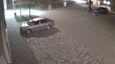

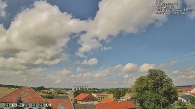
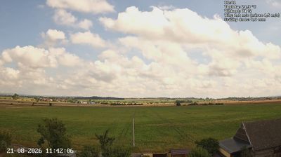


Tucked into the fertile Haná plain of central Moravia, Prostějov is a place whose character is shaped by the Romže River and the region’s long agricultural tradition. The city became an important textile centre in the 19th and early 20th centuries, a legacy still present in its urban fabric. The Renaissance Old Town Hall on the main square remains a defining civic landmark, while the National House, designed by architect Jan Kotěra, is a notable work of Czech modern architecture. Cafés, markets and public events keep the compact centre active, closely connected to the surrounding Haná countryside. See how Prostějov fits within the broader Haná area by browsing webcams nearby.
4 webcams
Olomouc Region occupies a varied inland belt in eastern Czechia. Its terrain moves from the fertile Haná lowlands around Olomouc to the forested Jeseníky Mountains in the north, where Praděd reaches 1,491 metres, the highest summit in Moravia and Czech Silesia. The Morava River provides a north–south thread through the region and has long supported settlement and farming. Olomouc, the historic capital of Moravia, retains a notable baroque core; its Holy Trinity Column is inscribed on UNESCO’s World Heritage List. Smaller towns, agricultural country and mountain communities give the region a distinctly changing character. Browse other webcams across Olomouc Region to place this setting in a wider geographic context.
81 webcams
The terrain of Czechia ranges from fertile lowlands in southern Moravia to mountain ridges along the northern frontier, giving this Central European country a distinctly varied geography. The Vltava runs through Prague before joining the Elbe, while the Krkonoše form part of the border with Poland and include Sněžka, Czechia’s highest mountain. Prague’s historic centre, with Prague Castle and Charles Bridge, reflects the city’s long role as a political and cultural centre. Beyond the capital, Bohemia is known for spa towns and brewing, and Moravia for wine-growing traditions. View additional webcams nearby to better understand how Czechia relates to its Central European surroundings.
1.4K webcams