 Cisarov: Luková - Rokytnice
Císařov straddles the Morava River floodplain in the Olomouc Region, and this low, level setting has made agriculture central to the settlement’s character. Luková and Rokytnice stand within the open fields of Haná, where broad arable plots meet compact village development and lines of trees. The area belongs to the Upper Morava Valley, a major lowland of central Moravia shaped by the Morava and its tributaries. Haná is also a distinct ethnographic region, recognised for its dialect, embroidered folk dress and long farming tradition. To the north, Olomouc is the regional cultural centre; its Holy Trinity Column is inscribed on the UNESCO World Heritage List. This is a landscape of long horizons and productive soils rather than mountain relief.
Generated by AI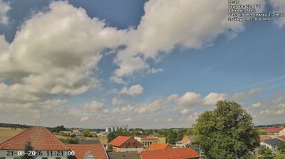
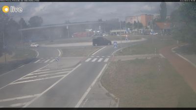
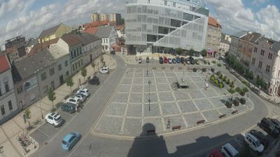
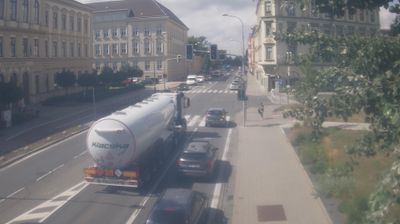
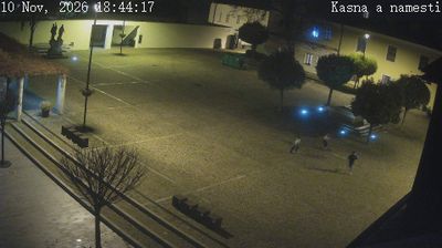


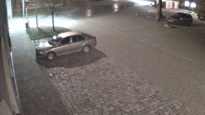


Čísarov occupies a flat agricultural section of the Upper Morava Valley in Czechia’s Olomouc Region. Set in Haná, the broad lowland associated with the Morava River, it is surrounded by fields, drainage channels and the open horizons typical of central Moravia. The village lies south of Olomouc, the historic regional centre, while nearby Tovačov adds another established point of reference in this lowland area. Haná is one of Moravia’s recognised ethnographic regions, known for distinctive folk costumes, music and dialect; that tradition gives a cultural frame to Čísarov’s quiet rural setting. Find related webcams in the surrounding area to build a fuller picture of Čísarov and the Upper Morava Valley.
2 webcams
Olomouc Region occupies a varied inland belt in eastern Czechia. Its terrain moves from the fertile Haná lowlands around Olomouc to the forested Jeseníky Mountains in the north, where Praděd reaches 1,491 metres, the highest summit in Moravia and Czech Silesia. The Morava River provides a north–south thread through the region and has long supported settlement and farming. Olomouc, the historic capital of Moravia, retains a notable baroque core; its Holy Trinity Column is inscribed on UNESCO’s World Heritage List. Smaller towns, agricultural country and mountain communities give the region a distinctly changing character. Browse other webcams across Olomouc Region to place this setting in a wider geographic context.
81 webcams
The terrain of Czechia ranges from fertile lowlands in southern Moravia to mountain ridges along the northern frontier, giving this Central European country a distinctly varied geography. The Vltava runs through Prague before joining the Elbe, while the Krkonoše form part of the border with Poland and include Sněžka, Czechia’s highest mountain. Prague’s historic centre, with Prague Castle and Charles Bridge, reflects the city’s long role as a political and cultural centre. Beyond the capital, Bohemia is known for spa towns and brewing, and Moravia for wine-growing traditions. View additional webcams nearby to better understand how Czechia relates to its Central European surroundings.
1.4K webcams