 Poruba: Ostrava
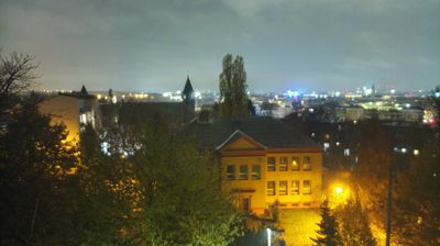
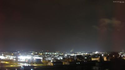
Among the districts of Ostrava, Poruba stands out for its extensive post-war planned housing estates and generous green spaces. This western part of the city occupies gently rolling ground in the Ostrava Basin, where the Porubka stream runs towards the Opava River. From the 1950s, Poruba became one of Czechia’s most ambitious planned residential districts, organised around broad Hlavní třída and its formal public spaces. Older houses at the edges recall the formerly independent village, incorporated into Ostrava in 1957. Today, the district combines everyday urban life with the campus of VSB–Technical University of Ostrava and a direct transition to open land towards Plesná and Vřesina.
Generated by AI

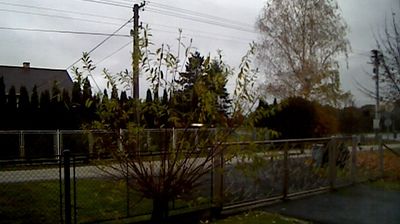

Among the settlements of the Olomouc Region, Poruba stands out for its quiet setting in the rolling eastern countryside of the Přerov District. The municipality lies in the wider Moravian Gate, a lowland corridor between the Bohemian Massif and the Carpathian foothills. Fields, wooded slopes and scattered rural buildings shape the local scene rather than urban development. Poruba reflects the agricultural character of this part of Moravia, where village life remains closely connected with the surrounding land. Its location also places it in a region shaped by routes between central Moravia and the country’s northeast. Discover other points of interest through webcams located across the Olomouc Region.
1 webcam
Olomouc Region occupies a varied inland belt in eastern Czechia. Its terrain moves from the fertile Haná lowlands around Olomouc to the forested Jeseníky Mountains in the north, where Praděd reaches 1,491 metres, the highest summit in Moravia and Czech Silesia. The Morava River provides a north–south thread through the region and has long supported settlement and farming. Olomouc, the historic capital of Moravia, retains a notable baroque core; its Holy Trinity Column is inscribed on UNESCO’s World Heritage List. Smaller towns, agricultural country and mountain communities give the region a distinctly changing character. Browse other webcams across Olomouc Region to place this setting in a wider geographic context.
81 webcams
The terrain of Czechia ranges from fertile lowlands in southern Moravia to mountain ridges along the northern frontier, giving this Central European country a distinctly varied geography. The Vltava runs through Prague before joining the Elbe, while the Krkonoše form part of the border with Poland and include Sněžka, Czechia’s highest mountain. Prague’s historic centre, with Prague Castle and Charles Bridge, reflects the city’s long role as a political and cultural centre. Beyond the capital, Bohemia is known for spa towns and brewing, and Moravia for wine-growing traditions. View additional webcams nearby to better understand how Czechia relates to its Central European surroundings.
1.4K webcams