 Klimkovice
 lies along the Polančice Stream on the edge of the Nízký Jeseník foothills, where a compact historic centre meets rolling countryside west of Ostrava. Its square remains the civic heart of this small Moravian-Silesian town, framed by low arcaded houses and the tower of St Catherine’s Church. Klimkovice developed as a market town, and its centre still has the intimate scale of a place shaped by local trade and administration rather than heavy industry. Beyond the core, the town is also associated with Klimkovice Spa, a rehabilitation facility serving the wider Ostrava region. It provides a quieter counterpoint to nearby Ostrava, with modest historic architecture and open upland terrain.
Generated by AI



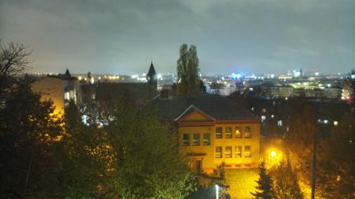


Klimkovice is best known in Czechia for the Sanatoria Klimkovice, a rehabilitation spa using local iodine-bromine mineral water. The town lies southwest of Ostrava, where the Polančice stream crosses gently rolling terrain in the Moravian-Silesian Region. Treatment is centred on rehabilitation, including care after injuries and for neurological conditions, a role that sets Klimkovice apart from the nearby industrial metropolis. Klimkovice received town status in 1416; its compact centre retains the scale of an older Moravian settlement, while the spa has defined its modern identity. Find related webcams in the surrounding area to build a fuller picture of Klimkovice and the Moravian-Silesian Region.
1 webcam
Moravian-Silesian Region combines an industrial legacy with mountain terrain in a way that reflects its position between the historic lands of Moravia and Silesia on Czechia’s northeastern frontier. Ostrava, its largest city, developed around coal mining and ironmaking; the former Vítkovice ironworks, now the Dolní Vítkovice cultural complex, remain a defining reminder of that era. Beyond the urban basin, the Beskydy range rises in the southeast, while the Oder has its source in the Oderské vrchy. Opava adds another thread of Silesian identity through its historic centre and cultural life. Browse additional webcams from the surrounding area to extend your view of the Moravian-Silesian Region.
119 webcams
The terrain of Czechia ranges from fertile lowlands in southern Moravia to mountain ridges along the northern frontier, giving this Central European country a distinctly varied geography. The Vltava runs through Prague before joining the Elbe, while the Krkonoše form part of the border with Poland and include Sněžka, Czechia’s highest mountain. Prague’s historic centre, with Prague Castle and Charles Bridge, reflects the city’s long role as a political and cultural centre. Beyond the capital, Bohemia is known for spa towns and brewing, and Moravia for wine-growing traditions. View additional webcams nearby to better understand how Czechia relates to its Central European surroundings.
1.4K webcams