 Osan-ri: Digital valley-ro
Digital Valley-ro is best known within Gyeonggi-do for serving a business and industrial district. The road lies in an inland, built-up part of the province within the Seoul Capital Area, where Gyeonggi-do is closely connected with Seoul and Incheon. Its name reflects the economic character of this section of the capital region, shaped by workplaces and road-based movement rather than a historic visitor quarter. Gyeonggi-do has long developed alongside Seoul as the capital’s surrounding province; corridors such as Digital Valley-ro are part of the everyday urban fabric extending beyond Seoul’s municipal boundary. It is a useful reference point for understanding the scale of metropolitan South Korea.
Generated by AI
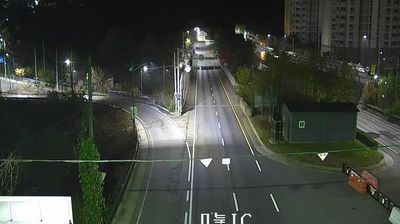
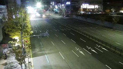
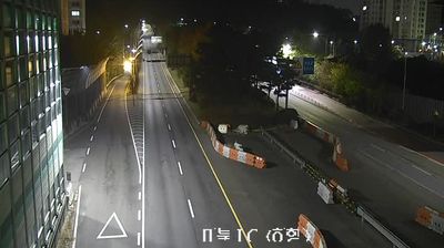
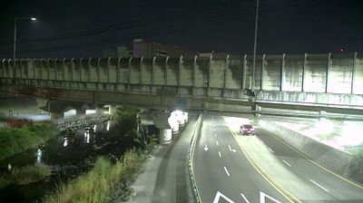
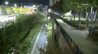
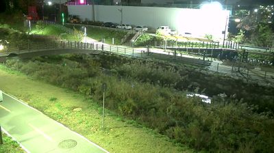
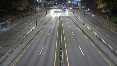


Osan-ri sits among the low wooded hills of Yongin in Gyeonggi-do, South Korea, where the built-up Seoul metropolitan area gives way to a more rural inland setting. The settlement belongs to Mohyeon-eup, in the eastern part of Yongin, a city that has grown from agricultural communities into a major part of the capital region. Forested slopes, local roads and small-scale development shape this side of Gyeonggi-do, away from central Seoul’s dense urban core. Yongin is also known nationally for major leisure destinations including Everland and the Korean Folk Village. View additional webcams nearby to better understand how Yongin relates to the surrounding Gyeonggi-do countryside.
4 webcams
Gyeonggi-do stretches from the Yellow Sea coast to the border with North Korea, encompassing the Han River basin, broad western lowlands and wooded eastern hills. It surrounds Seoul on most sides and is South Korea’s most populous province, where satellite cities, farmland and industrial districts lie close together. The Han River and its tributaries have long linked this area to the capital region. In Suwon, Hwaseong Fortress, built for King Jeongjo in the late 18th century, is a UNESCO World Heritage site and a lasting monument to Joseon-era statecraft. Beyond the urban core, the province includes coastal islands, reservoirs and mountain parks. View additional webcams nearby to better understand how Gyeonggi-do relates to Seoul, the Yellow Sea coast and the northern frontier.
40 webcams
South Korea stretches from the mountainous border with North Korea to Jeju Island, encompassing forested ranges, fertile river basins and a deeply indented southern coast. The Taebaek Mountains run along much of the east, while the Han River crosses Seoul before reaching the Yellow Sea. Busan faces the Korea Strait, and tidal flats and islands shape the country’s western shore. Seoul combines dense contemporary districts with royal Joseon sites, including Gyeongbokgung Palace, first built in 1395. Kimchi and bibimbap are central to everyday cuisine, while the Korean alphabet, Hangeul, was created in the 15th century. Find related webcams in the surrounding area to build a fuller picture of South Korea’s coasts, mountains and cities.
162 webcams