 Suwon
Yongin lies in the low valleys of inland Gyeonggi, where urban districts spread between wooded hills and stream corridors. South of Seoul, it is part of the capital region and has grown from a largely rural county into a major city of residential neighbourhoods, technology industry and large leisure destinations. The Korean Folk Village preserves reconstructed traditional buildings and presents performances rooted in Korean customs, providing a deliberate counterpoint to the newer built environment. Yongin's terrain remains more undulating than central Seoul, with waterways, local parks and paths threading between developed districts.
Generated by AI

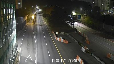
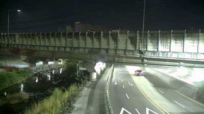

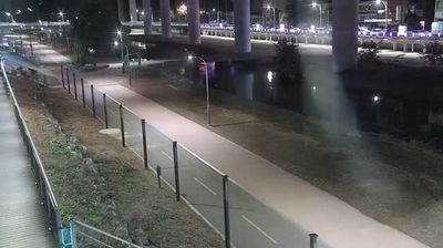
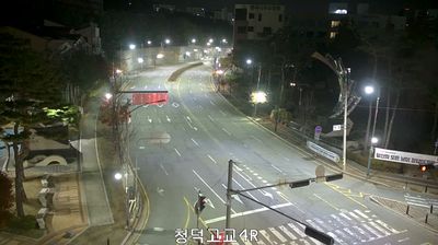

Suwoncheon Stream defines the setting of Suwon-si — it passes through the historic centre and Hwaseong Fortress, linking the city’s waterway with its old urban fabric. Built from 1794 to 1796 on the orders of King Jeongjo of Joseon, Hwaseong is a UNESCO World Heritage site, known for its four principal gates, command posts and stone-and-brick ramparts. Paldalmun, the fortress’s south gate, remains a landmark amid markets and modern streets, while Janganmun marks the northern approach. Suwon is also known across Korea for galbi, grilled marinated beef ribs, and restaurants serving the local style are part of the city’s food culture. Continue through nearby webcams to explore different parts of Suwon-si and Gyeonggi-do.
5 webcams
Gyeonggi-do stretches from the Yellow Sea coast to the border with North Korea, encompassing the Han River basin, broad western lowlands and wooded eastern hills. It surrounds Seoul on most sides and is South Korea’s most populous province, where satellite cities, farmland and industrial districts lie close together. The Han River and its tributaries have long linked this area to the capital region. In Suwon, Hwaseong Fortress, built for King Jeongjo in the late 18th century, is a UNESCO World Heritage site and a lasting monument to Joseon-era statecraft. Beyond the urban core, the province includes coastal islands, reservoirs and mountain parks. View additional webcams nearby to better understand how Gyeonggi-do relates to Seoul, the Yellow Sea coast and the northern frontier.
40 webcams
South Korea stretches from the mountainous border with North Korea to Jeju Island, encompassing forested ranges, fertile river basins and a deeply indented southern coast. The Taebaek Mountains run along much of the east, while the Han River crosses Seoul before reaching the Yellow Sea. Busan faces the Korea Strait, and tidal flats and islands shape the country’s western shore. Seoul combines dense contemporary districts with royal Joseon sites, including Gyeongbokgung Palace, first built in 1395. Kimchi and bibimbap are central to everyday cuisine, while the Korean alphabet, Hangeul, was created in the 15th century. Find related webcams in the surrounding area to build a fuller picture of South Korea’s coasts, mountains and cities.
163 webcams