 North Perth: Highway 23 South of line 89, Looking South
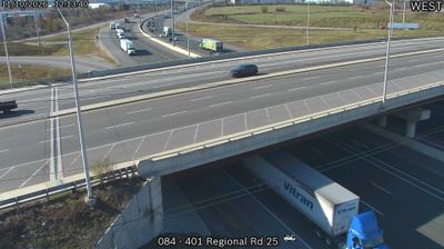
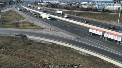
Tucked along the base of the Niagara Escarpment, Milton is a place whose character is shaped by the meeting of southern Ontario farmland, protected landscape and Greater Toronto’s outward growth. Highway 401 and Regional Road 25 put its western industrial district on one of Canada’s principal east–west freight corridors, where distribution buildings and broad multilane roads meet open land. The Niagara Escarpment is a UNESCO World Biosphere Reserve and forms the defining ridge of this part of Ontario. Milton’s older centre developed from the mid-19th-century settlement of Martin’s Mills, later renamed for poet John Milton. Today, historic streets, expanding employment areas and nearby conservation lands give the town a distinct edge-of-metropolis identity.
Generated by AI





Built around the farming hamlets and road connections of rural Perth County, North Perth grew into a single municipality through the 1998 amalgamation of Listowel with Elma and Wallace townships. Atwood, near the municipality’s southern edge, reflects the area’s close link to southwestern Ontario’s agricultural heartland. North Perth lies within the Maitland River watershed, amid productive farmland and a network of small communities. Listowel, the largest settlement, provides the municipality’s main commercial and civic centre, while local fairs and agricultural traditions remain part of its calendar. Discover other points of interest through webcams located across Perth County and southwestern Ontario.
6 webcams
Built around the Great Lakes–St. Lawrence water system, Ontario grew into Canada’s most populous province. Its vast northern interior lies on the Canadian Shield, a terrain of exposed rock, boreal forest and innumerable lakes, while the south concentrates most cities and farms along the Great Lakes. Lake Superior, Lake Huron, Lake Erie and Lake Ontario give the province an exceptional freshwater horizon; Niagara Falls is its best-known natural landmark. Toronto, Ontario’s largest city, is a major cultural and economic centre, while Algonquin Provincial Park, founded in 1893, represents a long tradition of protected wilderness. Move on to other webcams in the region to compare landscapes and settings around Ontario.
1.6K webcams
Canada has served as a frontier between French and British colonial powers since the 17th century. The world’s second-largest country extends from Atlantic shores to the Pacific and Arctic coasts, with the Canadian Shield, the Rocky Mountains, the Great Lakes and the St. Lawrence River shaping its vast geography. First Nations, Inuit and Métis peoples are central to Canada’s identity, while Ottawa’s Parliament Hill represents its federal political life. French remains the official language of Quebec, adding a distinct dimension to the country’s public culture. See how Canada connects across North America by browsing webcams in neighbouring regions.
3.5K webcams