 Milton: Highway 401 Near Regional Road 25
Among the places of Ontario, Milton stands out for its position between the Niagara Escarpment and the fast-growing western edge of Greater Toronto. The town developed around nineteenth-century milling on Sixteen Mile Creek and was incorporated in 1857. Its historic downtown remains distinct from newer neighbourhoods and employment lands around Highway 401. Regional Road 25 is a principal north–south route through Milton, while the 401 carries intercity traffic across southern Ontario. To the west, the escarpment’s wooded slopes and conservation areas link Milton to the wider Niagara Escarpment Biosphere Reserve, recognized by UNESCO.
Generated by AI






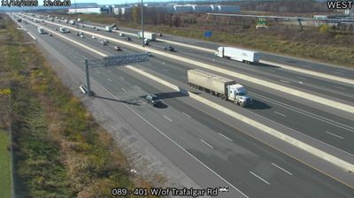
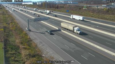


The Niagara Escarpment defines the setting of Milton — wooded slopes north of town shape a landscape of conservation areas, trailheads and seasonal outdoor activity. The Bruce Trail follows this long limestone escarpment, while nearby Kelso Conservation Area brings hiking, skiing and a reservoir close to the urban centre. Milton has grown rapidly within the Greater Toronto Area, yet its historic downtown remains a civic focus around Main Street. The Mattamy National Cycling Centre, built for the 2015 Pan American Games, gives the town a distinctive national sporting landmark: a 250-metre indoor velodrome. Find related webcams in the surrounding area to build a fuller picture of Milton and Halton Region.
12 webcams
Built around the Great Lakes–St. Lawrence water system, Ontario grew into Canada’s most populous province. Its vast northern interior lies on the Canadian Shield, a terrain of exposed rock, boreal forest and innumerable lakes, while the south concentrates most cities and farms along the Great Lakes. Lake Superior, Lake Huron, Lake Erie and Lake Ontario give the province an exceptional freshwater horizon; Niagara Falls is its best-known natural landmark. Toronto, Ontario’s largest city, is a major cultural and economic centre, while Algonquin Provincial Park, founded in 1893, represents a long tradition of protected wilderness. Move on to other webcams in the region to compare landscapes and settings around Ontario.
1.6K webcams
Canada has served as a frontier between French and British colonial powers since the 17th century. The world’s second-largest country extends from Atlantic shores to the Pacific and Arctic coasts, with the Canadian Shield, the Rocky Mountains, the Great Lakes and the St. Lawrence River shaping its vast geography. First Nations, Inuit and Métis peoples are central to Canada’s identity, while Ottawa’s Parliament Hill represents its federal political life. French remains the official language of Quebec, adding a distinct dimension to the country’s public culture. See how Canada connects across North America by browsing webcams in neighbouring regions.
3.5K webcams