 Mosfellsbær: Kambar neðst
Selvogur has served as a farming and fishing district in southwestern Iceland since the medieval period. The settlement pattern remains dispersed, with farms and former fishing sites strung along a low, open shore of the North Atlantic. Administratively, the area is part of the municipality of Ölfus and lies east of the Reykjanes Peninsula. Route 427, also called Suðurstrandarvegur, follows this stretch of coast between Þorlákshöfn and Grindavík. Near the shore, Strandarkirkja is closely associated with the seafaring traditions of the district and is among Selvogur’s best-known landmarks. Rather than a dense village centre, the area is defined by its coastal road, smallholdings and the broad space between sea and inland uplands.
Generated by AI

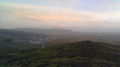


Mosfellsbær combines a settled coastal rhythm with open valley farmland in a way that reflects its position between Leiruvogur bay and the inland country northeast of Reykjavík. The municipality reaches into Mosfellsdalur, where the Leirvogsá flows towards the bay, while Mount Esja rises above nearby Kollafjörður. Gljúfrasteinn, the former home of Nobel Prize-winning Icelandic author Halldór Laxness, stands in the valley and is preserved as a museum. Although part of the Reykjavík capital area, Mosfellsbær retains a distinct identity through its farms, riverside land and spread-out neighbourhoods. Continue through nearby webcams to explore different parts of Mosfellsbær and Iceland’s Capital Region.
10 webcams
Capital Region has served as Iceland’s administrative and cultural heartland within the country since the mid-19th century. Centered on Reykjavík and its neighbouring municipalities, it occupies the shore of Faxaflói Bay, where low lava-built ground meets the North Atlantic. Reykjavík is Iceland’s largest urban area and the home of Alþingi, the national parliament, which has met in the city since 1845. Hallgrímskirkja and Harpa concert hall define a compact capital whose museums, geothermal pools and harbour life connect contemporary Iceland with maritime traditions. Beyond the urban coast, the wider area reaches toward the volcanic terrain of the Reykjanes Peninsula. Find related webcams in the surrounding area to build a fuller picture of Iceland’s Capital Region.
64 webcams
Iceland occupies a volcanic North Atlantic island on the Mid-Atlantic Ridge, between Europe and North America. Glaciers, black-sand shores and active geothermal areas form a terrain in constant dialogue with the weather; Vatnajökull is Europe’s largest glacier by volume. The Golden Circle links Þingvellir National Park, the Geysir geothermal area and Gullfoss waterfall, while Reykjavík concentrates much of the country’s contemporary culture and design. At Þingvellir, the Alþingi first assembled in 930. Fishing, wool knitwear and geothermal energy remain central to Icelandic life. Find related webcams in the surrounding area to build a fuller picture of Iceland.
655 webcams