 Mirna Pec: R3-651, Šentjurij - Mirna Peč, Mirna Peč 1
The karst-fed Temenica River defines the setting of Mirna Peč — its partly underground course and the low, wooded limestone hills of Dolenjska give this small Slovenian settlement a sheltered character. Mirna Peč lies in the traditional region of Lower Carniola, southeast of Novo Mesto, where cultivated fields and vineyard country meet terrain marked by sinkholes and subterranean watercourses. The parish church is an established focal point of the settlement, which forms part of the wider Novo Mesto area. Road and rail links connect Mirna Peč with central Slovenia and the country’s southeast. It represents the quieter, rural face of Dolenjska rather than an urban destination.
Generated by AI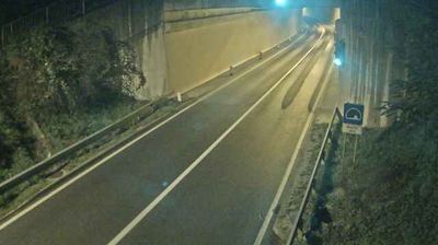


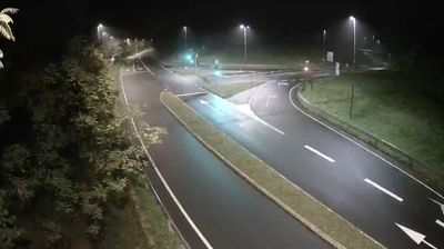

Built around its historic parish church, Mirna Peč grew into the administrative centre of a small municipality in southeastern Slovenia. It lies in Lower Carniola, a rolling karst region shaped by the Temenica River, whose intermittent course is characteristic of the Dolenjska landscape. The settlement stands on the railway route linking Ljubljana with Novo Mesto and Metlika, making it a useful stop in this largely rural part of the country. Its parish church remains a focal point, while vineyards, orchards and woodland define the surrounding countryside. Discover other points of interest through webcams located across Lower Carniola and southeastern Slovenia.
2 webcams
Slovenia occupies a meeting point of the Alps, the Pannonian Plain, the Dinaric mountains and the Adriatic coast in south-central Europe. The Julian Alps rise in the northwest, where Triglav is the country’s highest mountain, while the Soča River is known for its clear turquoise water. Karst terrain has shaped caves such as Postojna Cave and the Škocjan Caves, a UNESCO World Heritage site. Ljubljana combines a riverside old town with works by architect Jože Plečnik; farther east, wine-growing regions and thermal springs add another dimension. Slovenian food reflects Alpine, Mediterranean and Balkan influences. Find related webcams in the surrounding area to build a fuller picture of Slovenia and the northern Adriatic.
783 webcams