 Log-Dragomer: G2-105, Novo mesto (AC - Ločna), NM sever, DRSI
The landscape around Log-Dragomer is defined by wooded foothills meeting the Ljubljana Marshes, which has shaped both the built environment and local life. This Slovenian municipality sits between Ljubljana and Vrhnika, where transport routes cross the western edge of the broad marsh plain. The Ljubljanica flows through the marshes toward Ljubljana, while drainage channels and meadows reflect a long effort to manage this low-lying ground. The wider Ljubljana Marshes hold archaeological remains of prehistoric pile-dwelling settlements, and selected sites form part of the UNESCO World Heritage listing of Prehistoric Pile Dwellings around the Alps. Log-Dragomer combines dispersed settlement, roadside connections and the forested margins of central Slovenia.
Generated by AI
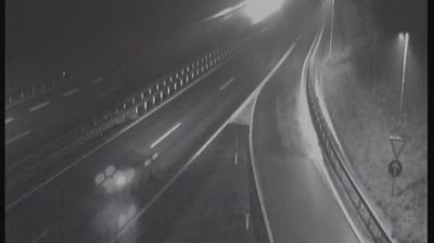

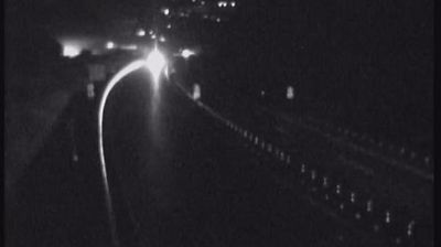
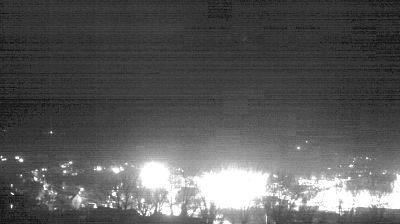

Among the communities of Slovenia’s Vrhnika Administrative Unit, Log-Dragomer stands out for its position where the Ljubljana Marshes meet wooded slopes southwest of Ljubljana. The municipality joins the settlements of Dragomer, Log pri Brezovici and Lukovica pri Brezovici, creating a place with both rural surroundings and close ties to the capital’s urban area. The low-lying Ljubljansko barje wetland plain is shaped by drainage channels, fields and patches of woodland. Its wider area is internationally significant for prehistoric pile-dwelling sites inscribed on UNESCO’s World Heritage List. Find related webcams around the Ljubljana Marshes and Vrhnika area to build a fuller picture of Log-Dragomer.
6 webcams
The Ljubljanica River and the karst margin define much of Upravna Enota Vrhnika – its springs, marsh-edge fields and wooded hills have shaped settlement, farming and travel. Near Vrhnika, the river’s source area includes the karst springs of Močilnik and Retovje; eastward lies the broad wetland lowland of the Ljubljana Marshes. The town developed on the site of Roman Nauportus, an important stop on routes connecting the Adriatic world with the Danube basin. Vrhnika is also the birthplace of Ivan Cankar, one of Slovenia’s central modern writers, commemorated by the Cankar Memorial House. Trails, cycling routes and quiet roads link the river, marsh and forested slopes. Move on to other webcams in Upravna Enota Vrhnika to compare landscapes and settings around this Slovenian karst region.
27 webcams
Slovenia occupies a meeting point of the Alps, the Pannonian Plain, the Dinaric mountains and the Adriatic coast in south-central Europe. The Julian Alps rise in the northwest, where Triglav is the country’s highest mountain, while the Soča River is known for its clear turquoise water. Karst terrain has shaped caves such as Postojna Cave and the Škocjan Caves, a UNESCO World Heritage site. Ljubljana combines a riverside old town with works by architect Jože Plečnik; farther east, wine-growing regions and thermal springs add another dimension. Slovenian food reflects Alpine, Mediterranean and Balkan influences. Find related webcams in the surrounding area to build a fuller picture of Slovenia and the northern Adriatic.
783 webcams