 Millak-dong
The Suyeong River defines the setting of Millak-dong — its broad estuary and adjoining coast have shaped this dense, high-rise quarter of eastern Busan. Millak-dong belongs to Suyeong-gu and occupies a strategic stretch between the river mouth and the sea. Its built environment pairs apartment complexes and broad traffic arteries with Millak Waterside Park, a waterfront public space. Just south, Gwangalli Beach is one of Busan’s best-known urban beaches. The Gwangan Bridge, completed in 2003, crosses Suyeong Bay for 7.42 kilometres and links Suyeong-gu with Haeundae-gu. Bridge, bay and skyline reflect Busan’s role as South Korea’s principal port city.
Generated by AI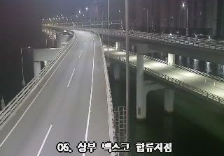
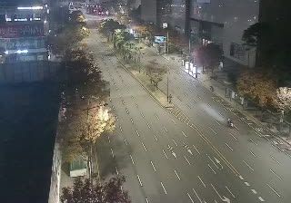


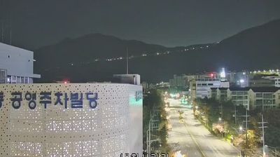
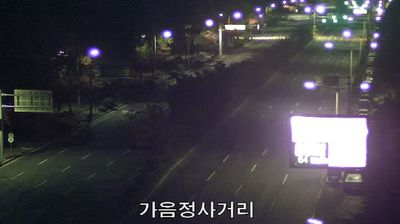


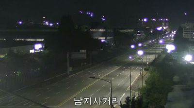

Millak-dong extends along Suyeong Bay in Busan, and its waterfront position has made the neighbourhood part of the city’s coastal social life. The shore sits beside Gwangalli Beach, whose broad arc of sand faces the bay and the illuminated Gwangan Bridge. Officially 7.42 kilometres long, this double-deck bridge links the Suyeong area with Haeundae and has become one of Busan’s most recognisable nighttime landmarks. Millak Waterside Park gives the district a direct public edge to the water, while nearby restaurants reflect Busan’s longstanding connection with seafood. Gwangalli Beach is also the main setting for the annual Busan Fireworks Festival. Browse webcams nearby to see how Millak-dong belongs to Busan’s wider coastline.
1 webcam
Busan’s terrain ranges from lowlands at the Nakdong River estuary in the west to wooded hills around Geumjeongsan in the north, giving the city a tightly folded coastal form. On the Korea Strait, South Korea’s second-largest city is built around an active harbour system and a long, indented shoreline. Haeundae Beach and Gwangalli Beach are among its best-known urban waterfronts, while mountain slopes remain close to dense neighbourhoods. The Port of Busan is the country’s largest, and Jagalchi Market is a major focal point of the city’s seafood trade and everyday food culture. Discover how Busan connects with the broader southeastern Korean coast by browsing webcams nearby.
6 webcams
South Korea stretches from the mountainous border with North Korea to Jeju Island, encompassing forested ranges, fertile river basins and a deeply indented southern coast. The Taebaek Mountains run along much of the east, while the Han River crosses Seoul before reaching the Yellow Sea. Busan faces the Korea Strait, and tidal flats and islands shape the country’s western shore. Seoul combines dense contemporary districts with royal Joseon sites, including Gyeongbokgung Palace, first built in 1395. Kimchi and bibimbap are central to everyday cuisine, while the Korean alphabet, Hangeul, was created in the 15th century. Find related webcams in the surrounding area to build a fuller picture of South Korea’s coasts, mountains and cities.
162 webcams