 Lucerne: Luzerner Kantonsspital
Few places in central Switzerland have a history as closely tied to the Gotthard trade route as Lucerne. Set where the Reuss leaves Lake Lucerne, the city became an important transfer point between Alpine passes and the Swiss Plateau. Its compact old town retains painted façades, narrow squares and the Kapellbrücke, a covered timber bridge linked with Lucerne since the Middle Ages. Lake Lucerne forms part of the irregularly shaped Vierwaldstättersee, whose inlets run deep into the surrounding pre-Alps. Mount Pilatus rises south of the city, while Lucerne’s built-up slopes and lakeside promenades connect the urban centre to its mountainous setting. The waterfront also has a major cultural role through the KKL Luzern, designed by Jean Nouvel and associated with the Lucerne Festival.
Generated by AI

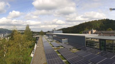

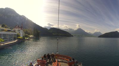

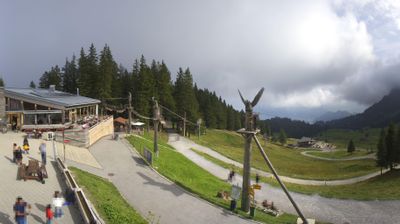
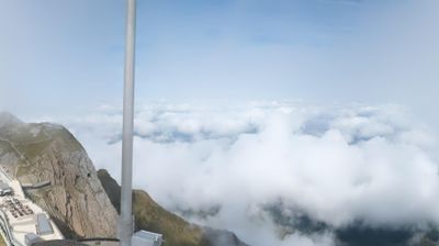

Lucerne lies along the Reuss at its outlet from Lake Lucerne, with Mount Pilatus rising to the southwest and the Rigi massif across the water. The compact old town preserves painted façades, arcaded squares and sections of medieval fortifications. Its best-known landmark is the Kapellbrücke, a covered wooden bridge first built in the 14th century beside the octagonal Water Tower. Historic paddle steamers still travel Lake Lucerne, while the annual Lucerne Festival brings leading classical musicians and orchestras to the city. Continue through nearby webcams to explore different parts of Lucerne and central Switzerland.
5 webcams
Luzern is best known within Switzerland for Lake Lucerne, where the Swiss Plateau meets the foothills of the Alps. The canton extends from settled farmland and rolling hills into the Prealpine landscapes of Entlebuch, a UNESCO Biosphere Reserve known for its moorlands and traditional rural scenery. In the city of Lucerne, the Reuss flows out of the lake beside the Kapellbrücke, the covered wooden bridge that has become one of Switzerland’s most recognisable landmarks. Rail and road routes have long made this central region an important link between northern Switzerland and Alpine passes. Continue with other webcams from the area to see how this part of central Switzerland connects regionally.
42 webcams
Switzerland stretches from the Jura Mountains in the northwest to the Alps in the south, encompassing a central plateau of cities, farms and lakes. The Rhine rises in the Swiss Alps, while Lake Geneva forms part of the country’s southwestern border. Zürich, Geneva and Basel are major urban centres, yet mountain railways and passes remain central to how many regions are experienced. Four national languages—German, French, Italian and Romansh—reflect Switzerland’s distinct cantonal identities. The Matterhorn above Zermatt is among Europe’s most recognisable peaks, and the 1291 Federal Charter is closely associated with the country’s founding tradition. Continue through nearby webcams to explore different parts of Switzerland.
1.5K webcams