 Hergiswil
 straddles the meeting of Alpnach Bay and the main basin of Lake Lucerne in Nidwalden, a position that has tied the community to the lakeshore and the transport corridor around it. Mount Pilatus rises immediately to the south, while the lake connects Hergiswil with Lucerne and other central Swiss settlements. The village is closely associated with Glasi Hergiswil, a glassworks founded in 1817 that still produces glass and includes a museum and visitor centre. Compact development occupies the foot of the pre-Alpine slopes, closely linked to the water. Lake Lucerne belongs to the Reuss river system, with the river flowing out through Lucerne towards the Aare.
Generated by AI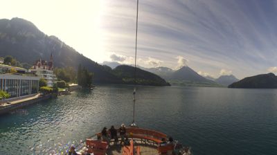
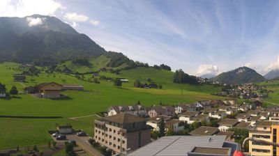
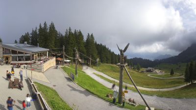

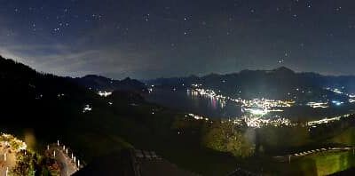
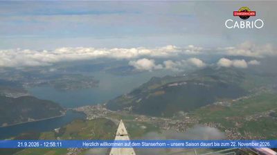


Among Nidwalden’s communities, Hergiswil stands out for its setting on Lake Lucerne beneath the slopes of Mount Pilatus. The municipality occupies a key stretch of the lake’s shore, where routes from Lucerne meet rail and road connections towards central Switzerland and the Brünig Pass. Glassmaking is central to its identity: Glasi Hergiswil, a glassworks founded in 1817, keeps the craft visible through working production and a visitor centre. Lakeside walks and boat services place the town within the active travel landscape around Lucerne. Continue with other webcams from the area to see how this part of Nidwalden connects across central Switzerland.
2 webcams
Nidwalden stretches from Lake Lucerne to the Uri Alps, encompassing sheltered lakeshores, the Stans valley and steep Prealpine terrain. The Engelberger Aa crosses the canton before entering the lake near Buochs, while the Stanserhorn and the Pilatus range frame its upland horizons. Stans, the cantonal capital, preserves a compact historic centre; its Winkelried monument recalls Arnold von Winkelried, the legendary figure associated with the Battle of Sempach. Rural communities, dairy farming and mountain transport remain part of the region’s identity, alongside close connections with Lucerne. Explore further webcams in the surrounding area to widen your perspective on Nidwalden.
26 webcams
Switzerland stretches from the Jura Mountains in the northwest to the Alps in the south, encompassing a central plateau of cities, farms and lakes. The Rhine rises in the Swiss Alps, while Lake Geneva forms part of the country’s southwestern border. Zürich, Geneva and Basel are major urban centres, yet mountain railways and passes remain central to how many regions are experienced. Four national languages—German, French, Italian and Romansh—reflect Switzerland’s distinct cantonal identities. The Matterhorn above Zermatt is among Europe’s most recognisable peaks, and the 1291 Federal Charter is closely associated with the country’s founding tradition. Continue through nearby webcams to explore different parts of Switzerland.
1.4K webcams