 Lenasia: Panorama Airfield
Among Gauteng’s places, Panorama Airfield stands out for its low-rise flying field on the open Highveld south of Johannesburg. The site sits in the broad interior plateau landscape that gives this part of South Africa its spacious horizon: airfield grounds, cultivated land and scattered development replace the dense urban fabric associated with the province’s main metropolis. Panorama Airfield is associated with the Johannesburg Flying Academy, reflecting the role of smaller airfields in pilot training and general aviation around Johannesburg. Lenasia lies within Gauteng, a province shaped by the Witwatersrand gold discoveries that led to Johannesburg’s founding in 1886. The surrounding Highveld remains an important setting for the region’s settlement and transport networks.
Generated by AI
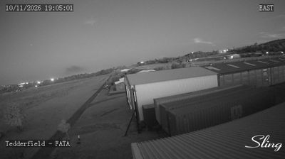
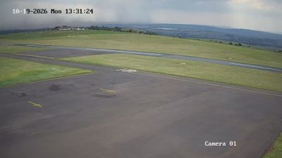
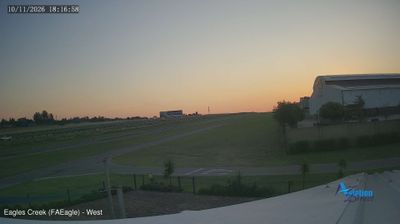

Lenasia sits on the Highveld in Gauteng, South Africa, where Johannesburg’s southern urban fringe meets the open plateau of the interior. Developed in the 1950s as a segregated township for Indian South Africans under apartheid, it remains one of the country’s most important Indian South African communities. Its streets support a lively local economy of family-run shops, restaurants and specialist food stores, while mosques and Hindu temples reflect longstanding religious traditions. Lenasia is part of the wider Johannesburg metropolitan area, yet its commercial centre and community institutions give it a distinct identity within the city. Continue through nearby webcams to explore different parts of Gauteng.
1 webcam
Gauteng stretches from the Magaliesberg in the north to the Vaal River in the south, encompassing Highveld grassland and South Africa’s largest urban concentration. Although it is the country’s smallest province by area, it includes Johannesburg and Pretoria, the latter one of South Africa’s three capitals. Johannesburg grew rapidly with the Witwatersrand gold rush, a legacy still evident in its mining heritage and urban form. To the northwest, the Cradle of Humankind World Heritage Site preserves fossil-bearing caves that have shaped research into human origins. Summer thunderstorms and dry, sunny winters give the province a strongly seasonal Highveld character. Move on to other webcams in the region to compare landscapes and settings around Gauteng.
20 webcams
The terrain of South Africa ranges from coastal lowlands along the Indian Ocean in the east to high inland plateaus across the centre, producing marked regional climate contrasts. The Drakensberg forms a rugged eastern escarpment, while Atlantic and Indian Ocean shores frame cities including Cape Town and Durban. Table Mountain stands above Cape Town, and the Cape Floristic Region is internationally noted for its exceptional plant diversity. South Africa’s modern identity is inseparable from apartheid and the democratic transition of 1994, a history explored at Johannesburg’s Apartheid Museum. Twelve official languages reflect the country’s diverse communities. Continue through nearby webcams to explore different parts of South Africa.
62 webcams