 Diepsloot
Lone Hill has served as a residential suburb in Gauteng since the late 20th century. Part of the northern Johannesburg metropolitan area, it spreads across gently rolling Highveld ground beside the granite koppie from which it takes its name. Low-rise housing, mature trees and local shopping precincts give the district a quieter texture than the city’s central business areas, while the larger Fourways node places it within one of Johannesburg’s rapidly developed suburban zones. Lone Hill reflects a broader shift in the region from former farmland to commuter-oriented neighbourhoods, shaped by private estates, schools and everyday services. Its open horizons and dispersed development are characteristic of this edge of the metropolis.
Generated by AI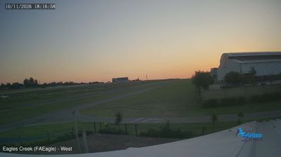
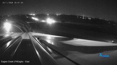
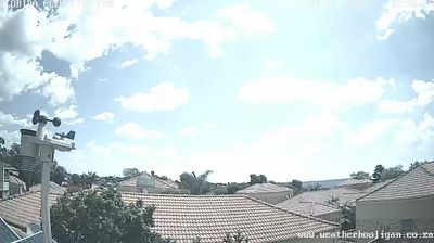

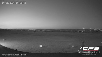
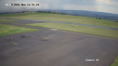
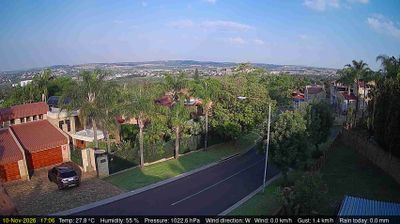


Diepsloot straddles Johannesburg’s northern metropolitan fringe in Gauteng, and its location amid rapid urban expansion has made it a densely settled township with close links to the wider city. Established in 1995 as a resettlement area, it has grown into a substantial community where formal housing, informal settlement and local commerce meet. The Jukskei River runs through the broader northern Johannesburg area, while the Highveld setting brings grassland and pronounced seasonal changes beyond the built-up districts. Diepsloot is also central to South Africa’s continuing conversation about housing, public services and inclusive urban development. Discover how Diepsloot connects with northern Johannesburg and Gauteng by browsing webcams nearby.
1 webcam
Gauteng stretches from the Magaliesberg in the north to the Vaal River in the south, encompassing Highveld grassland and South Africa’s largest urban concentration. Although it is the country’s smallest province by area, it includes Johannesburg and Pretoria, the latter one of South Africa’s three capitals. Johannesburg grew rapidly with the Witwatersrand gold rush, a legacy still evident in its mining heritage and urban form. To the northwest, the Cradle of Humankind World Heritage Site preserves fossil-bearing caves that have shaped research into human origins. Summer thunderstorms and dry, sunny winters give the province a strongly seasonal Highveld character. Move on to other webcams in the region to compare landscapes and settings around Gauteng.
20 webcams
The terrain of South Africa ranges from coastal lowlands along the Indian Ocean in the east to high inland plateaus across the centre, producing marked regional climate contrasts. The Drakensberg forms a rugged eastern escarpment, while Atlantic and Indian Ocean shores frame cities including Cape Town and Durban. Table Mountain stands above Cape Town, and the Cape Floristic Region is internationally noted for its exceptional plant diversity. South Africa’s modern identity is inseparable from apartheid and the democratic transition of 1994, a history explored at Johannesburg’s Apartheid Museum. Twelve official languages reflect the country’s diverse communities. Continue through nearby webcams to explore different parts of South Africa.
61 webcams