 Irene
Few places in Gauteng have a history as closely tied to dairy farming as Irene. This leafy residential district between Centurion and Pretoria grew around the Irene Estate and its working dairy, whose farm shop and restaurant maintain that agricultural association in an increasingly urban setting. The Hennops River runs through the area, while mature trees, grassed spaces and gently rolling ground soften the surrounding metropolitan development. Irene also preserves an important record of the South African War: the Irene Concentration Camp Cemetery commemorates people who died in the British-run camp established here. Established homes and former smallholdings lie close to major Pretoria–Johannesburg transport corridors, yet the district retains a quieter, green character within Gauteng’s urban belt.
Generated by AI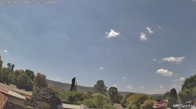
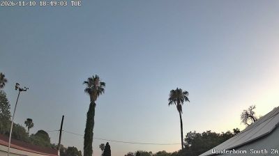

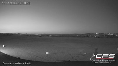
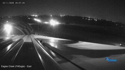
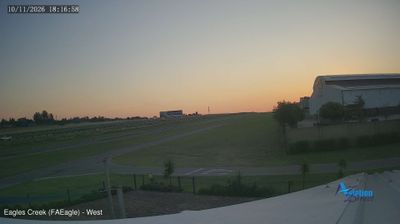
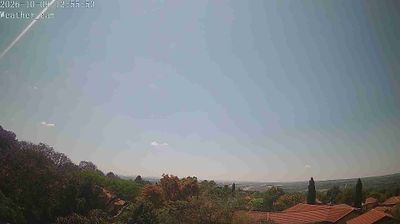
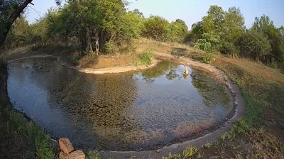


Irene has served as a farming settlement in Gauteng since the late 19th century. Now part of the City of Tshwane metropolitan area, it retains a leafy, low-rise character beside the Hennops River, between Pretoria and Centurion. The district developed around the Doornkloof farm, while Irene Dairy Farm, established in 1895, remains a local institution for dairy products and farm-based dining. Nearby, the Jan Smuts House Museum occupies the former home of South African statesman Jan Smuts, connecting this suburban district with a major chapter of the country’s political history. Continue through nearby webcams to explore different parts of Irene and Gauteng.
1 webcam
Gauteng stretches from the Magaliesberg in the north to the Vaal River in the south, encompassing Highveld grassland and South Africa’s largest urban concentration. Although it is the country’s smallest province by area, it includes Johannesburg and Pretoria, the latter one of South Africa’s three capitals. Johannesburg grew rapidly with the Witwatersrand gold rush, a legacy still evident in its mining heritage and urban form. To the northwest, the Cradle of Humankind World Heritage Site preserves fossil-bearing caves that have shaped research into human origins. Summer thunderstorms and dry, sunny winters give the province a strongly seasonal Highveld character. Move on to other webcams in the region to compare landscapes and settings around Gauteng.
20 webcams
The terrain of South Africa ranges from coastal lowlands along the Indian Ocean in the east to high inland plateaus across the centre, producing marked regional climate contrasts. The Drakensberg forms a rugged eastern escarpment, while Atlantic and Indian Ocean shores frame cities including Cape Town and Durban. Table Mountain stands above Cape Town, and the Cape Floristic Region is internationally noted for its exceptional plant diversity. South Africa’s modern identity is inseparable from apartheid and the democratic transition of 1994, a history explored at Johannesburg’s Apartheid Museum. Twelve official languages reflect the country’s diverse communities. Continue through nearby webcams to explore different parts of South Africa.
61 webcams