 Kåfjord: Storvikeidet
Storvikeidet pass defines the setting of Kåfjord — the E6 follows this low saddle through exposed rock and open birch woodland. Kåfjord stands on Altafjord in northern Norway, where the coastal route alternates between fjord settlements and rolling inland ground. The E6 is Norway’s principal north–south road, linking widely spaced communities and ports across the far north. Kåfjord bay on Altafjord has a place in Second World War history as an anchorage used by the German battleship Tirpitz. Around Storvikeidet, the scale is set by the road’s sweep between rocky slopes and low vegetation, illustrating how transport corridors negotiate the terrain beyond the fjord.
Generated by AI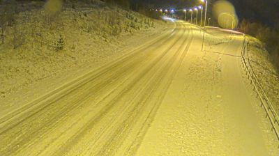
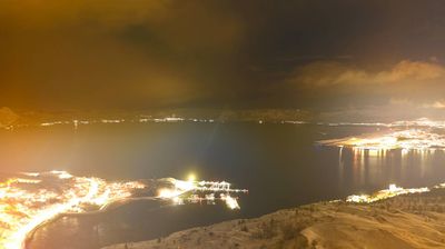
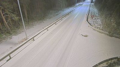
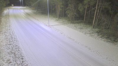
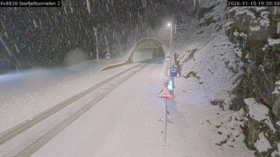
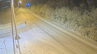


Among the communities of Troms og Finnmark, Kafjord stands out for its industrial past on the shore of Kåfjord, a branch of Altafjord. This small settlement lies on Norway’s far-northern coast, where the fjord reaches inland beneath broad Arctic skies and steep land rises from the water. Kåfjord was home to the Kåfjord Copper Works, established in 1826; the operation made the area an important 19th-century mining centre in northern Norway. It is also part of Alta municipality, whose Altafjord coast includes the UNESCO-listed Alta rock art. Browse other webcams across Troms og Finnmark to place Kafjord in a wider geographic context.
1 webcam
Finnmark is best known within Norway for the North Cape, the dramatic headland on Magerøya facing the Barents Sea. Norway’s northernmost county stretches across an Arctic coast of islands, fjords and exposed tundra, with long distances between its settlements. The region is central to Sámi culture: Karasjok is home to the Sámi Parliament of Norway, while reindeer husbandry remains important across the interior. Fishing has long shaped coastal communities, and the waters of the Barents Sea support a major maritime economy. View additional webcams nearby to better understand how Finnmark relates to its Arctic surroundings.
53 webcams
Norway has served as a seafaring link between the North Atlantic and northern Europe since the Viking Age. Its long coastline is cut by fjords, while the Lofoten archipelago rises sharply from the Norwegian Sea and the mountains of Jotunheimen include Galdhøpiggen, Norway’s highest peak. Bergen’s Bryggen, the former Hanseatic wharf, recalls centuries of maritime trade. Farther north, Sámi culture remains an essential part of the country’s identity. Explore nearby webcam locations that provide complementary perspectives on Norway’s coast, fjords and mountain regions.
1.5K webcams