 Alta: Øvre - Bru 2
The landscape around Alta is a low, forested valley beside the Altaelva, which has shaped both the built environment and local life. The river runs from the Finnmarksvidda plateau to Altafjord, and its valley contains residential districts, local roads and broad belts of woodland. Alta is among northern Norway’s principal towns and a service centre for western Finnmark. Its most important cultural landmark is the UNESCO-listed Rock Art of Alta at Hjemmeluft, where thousands of prehistoric carvings and paintings document life in the far north. The Northern Lights Cathedral, completed in 2013, gives the modern centre a distinctive landmark, while the Fv7990 runs through upper-valley settlements towards Raipas.
Generated by AI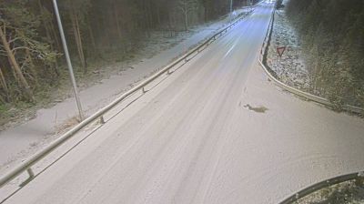
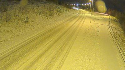
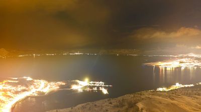

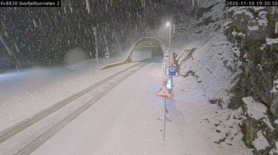
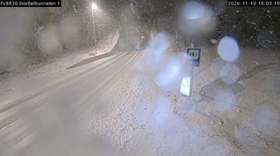

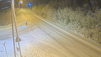


Alta sits at the inner end of Altafjord in northern Norway, where the Alta River enters the fjord below open Arctic uplands. The town is one of northern Norway’s principal centres, with a compact urban core between the coast and the broad interior of Finnmark. Alta is internationally known for the Rock Art of Alta, a UNESCO World Heritage property whose carvings and paintings document prehistoric life in the far north. Many of the best-known panels are protected at Hjemmeluft, near the Alta Museum. Winter brings long dark evenings at this high latitude, while summer is marked by the midnight sun. Browse additional webcams from Finnmark to extend your view of Altafjord.
3 webcams
Finnmark is best known within Norway for the North Cape, the dramatic headland on Magerøya facing the Barents Sea. Norway’s northernmost county stretches across an Arctic coast of islands, fjords and exposed tundra, with long distances between its settlements. The region is central to Sámi culture: Karasjok is home to the Sámi Parliament of Norway, while reindeer husbandry remains important across the interior. Fishing has long shaped coastal communities, and the waters of the Barents Sea support a major maritime economy. View additional webcams nearby to better understand how Finnmark relates to its Arctic surroundings.
52 webcams
Norway has served as a seafaring link between the North Atlantic and northern Europe since the Viking Age. Its long coastline is cut by fjords, while the Lofoten archipelago rises sharply from the Norwegian Sea and the mountains of Jotunheimen include Galdhøpiggen, Norway’s highest peak. Bergen’s Bryggen, the former Hanseatic wharf, recalls centuries of maritime trade. Farther north, Sámi culture remains an essential part of the country’s identity. Explore nearby webcam locations that provide complementary perspectives on Norway’s coast, fjords and mountain regions.
1.5K webcams