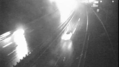
 Koper: R1-208, Črni Kal - Kortine, Črni Kal II
Among the settlements of the Koper administrative unit, Črni Kal stands out for its setting below the Karst Edge, a limestone escarpment above Slovenia’s short Adriatic coastline. The old settlement lies along the route from the coast to the interior, a position that has long made this hillside corridor important for travel. Its best-known monument is the Church of St Valentine, a Romanesque building with a leaning bell tower. Nearby, the Črni Kal Viaduct takes the A1 motorway across the valley. The surrounding Slovenian Istria is defined by wooded slopes, vineyards and the rocky rim of the Karst Plateau, which is also a well-established climbing area.
Generated by AI
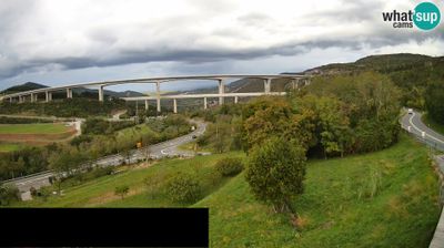

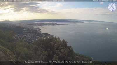


Koper combines a compact Venetian old town with the purposeful scale of Slovenia’s principal commercial port, reflecting its position on the Adriatic’s Gulf of Trieste. Its historic centre was once an island, and its narrow streets still converge on Tito Square, where the 15th-century Praetorian Palace recalls the period of Venetian rule. The port remains central to the city’s modern identity, linking Slovenia with maritime trade routes across the northern Adriatic. Koper also belongs to Slovenia’s bilingual coastal area, where Italian has official status alongside Slovene. Find related webcams in the surrounding area to build a fuller picture of Koper and the Slovenian coast.
10 webcams
Upravna enota Koper combines a Mediterranean shoreline with a limestone hinterland in a way that reflects its position between the Adriatic Sea and Slovenia’s interior. Centred on Koper, it forms part of Slovenian Istria on the Gulf of Trieste, where the Bay of Koper meets low hills marked by vineyards and olive groves. The old town bears the imprint of centuries of Venetian rule: Tito Square is framed by the Praetorian Palace and the Cathedral of the Assumption. Koper is also Slovenia’s principal commercial port, lending this short stretch of coast a working, outward-looking character alongside its Italianate urban fabric. Browse other webcams across Slovenian Istria to place this coastal setting in a wider geographic context.
18 webcams
Slovenia occupies a meeting point of the Alps, the Pannonian Plain, the Dinaric mountains and the Adriatic coast in south-central Europe. The Julian Alps rise in the northwest, where Triglav is the country’s highest mountain, while the Soča River is known for its clear turquoise water. Karst terrain has shaped caves such as Postojna Cave and the Škocjan Caves, a UNESCO World Heritage site. Ljubljana combines a riverside old town with works by architect Jože Plečnik; farther east, wine-growing regions and thermal springs add another dimension. Slovenian food reflects Alpine, Mediterranean and Balkan influences. Find related webcams in the surrounding area to build a fuller picture of Slovenia and the northern Adriatic.
783 webcams